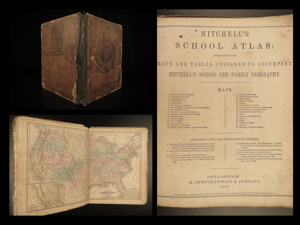
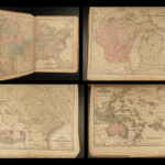
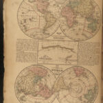
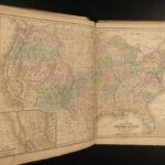
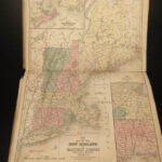
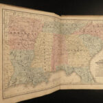
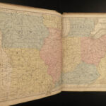
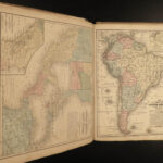
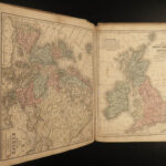
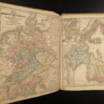
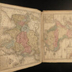
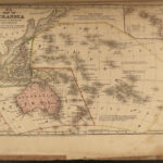
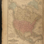
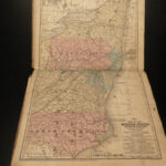
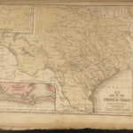
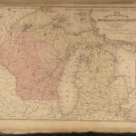
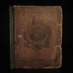
1856 Mitchell School ATLAS 32 MAPS America Holy Land Texas Egypt United States
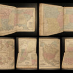
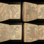
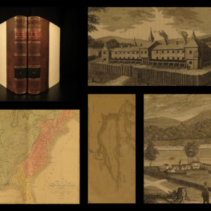
The name Mitchell has long been synonymous with 19th-century maps; in fact, Mitchell maps are often considered the best of atlas maps from the 1800s. S Augustus Mitchell published an important geography book designed for schools and with it an impressive atlas. This 1856 atlas contains, as expected, all 32 maps including the highly coveted double-page map of the United States.
Item number: #17414
Price: $550
MITCHELL, S Augustus
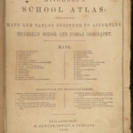
Mitchell’s School Atlas: comprising the maps and tables designed to accompany…
Philadelphia: : H. Cowperthwait & Company. 1856.
Details:
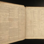
- Collation: Complete with all pages
- [10], 32 colored maps
- Provenance: Handwritten
- Mary A. Shaw, 1860
- Mary A. Carpenter
- Language: English
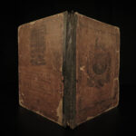
- Binding: Leather; tight and secure
- Size: ~12in X 9.75in (30cm x 24.5cm)
Our Guarantee:
Very Fast. Very Safe. Free Shipping Worldwide.
Customer satisfaction is our priority! Notify us with 7 days of receiving, and we will offer a full refund without reservation!
17414
Categories
Americana, American History
Voyages & Exploration & Maps
Authors
MITCHELL, S Augustus
Printing Date
19th Century
Language
English
Binding
Leather
Book Condition
Excellent
Collation
Complete

