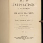
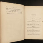
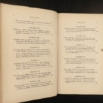
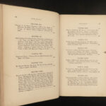
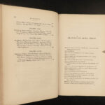
1856 ARCTIC 1st ed Elisha Kane Explorations Voyages Franklin Expedition Maps 2v
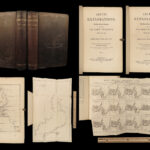
The Arctic Exploration, or ‘Advance,’ led by Elisha Kent Kane, was financed to find Sir John Franklin and his ship which was missing. While Franklin was never found, Kent and his explorers were able to gather a lot of information about people, geography, and natural history of the Arctic region, a relatively unknown region of the world. The discoveries found on this voyage include the Humboldt Glacier, Kennedy Channel, the Kane Basin, and reaching the farthest north of any exploration at the time.
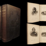
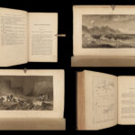
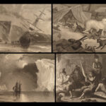
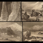
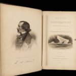
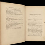
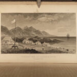
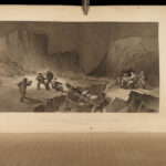
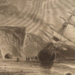
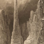
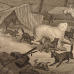
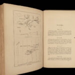
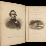
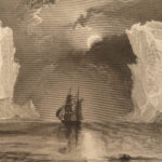
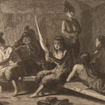
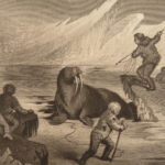
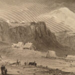
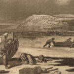
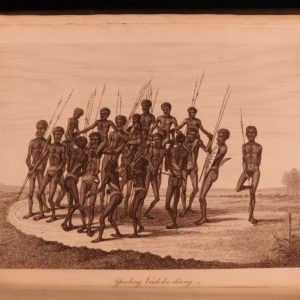
Published just one year before Kent’s death, this first edition book was immensely popular and was “often compared to the Bible for wide dissemination of America’s bedside reading tables” (Books on Ice 3.9). This book includes engraved plates, maps, and many in-text illustrations of icebergs, ship scenes, animals, and portraits.
Item number: #30572
Price: $499
KANE, Elisha Kent
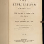
Arctic explorations: the second Grinnell expedition in search of Sir John Franklin, 1853, ’54, ’55
Philadelphia: Childs & Peterson: Boston: Phillips, Sampson, 1856. First Edition.
Details:
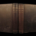
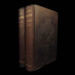
- Collation: Complete with all pages; 2 volumes
- I – 464
- II – 467, [1]
- “Illustrated by upwards of 300 engravings”
- Includes 21 plates, including frontispiece engravings
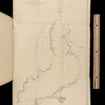
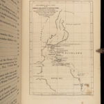
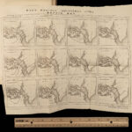
- 2 folding maps
- References: Sabin 37001; Arctic Bibliography 8373
- Language: English
- Binding: Hardcover; secure
- Brown cloth
- Size: ~9in X 6.25in (23cm x 16cm)
Our Guarantee:
Very Fast. Very Safe. Free Shipping Worldwide.
Customer satisfaction is our priority! Notify us with 7 days of receiving, and we will offer a full refund without reservation!
30572
Category
Voyages & Exploration & Maps
Authors
KANE, Elisha Kent
Printing Date
19th Century
Language
English
Binding
Hardcover
Book Condition
Excellent
Collation
Complete


