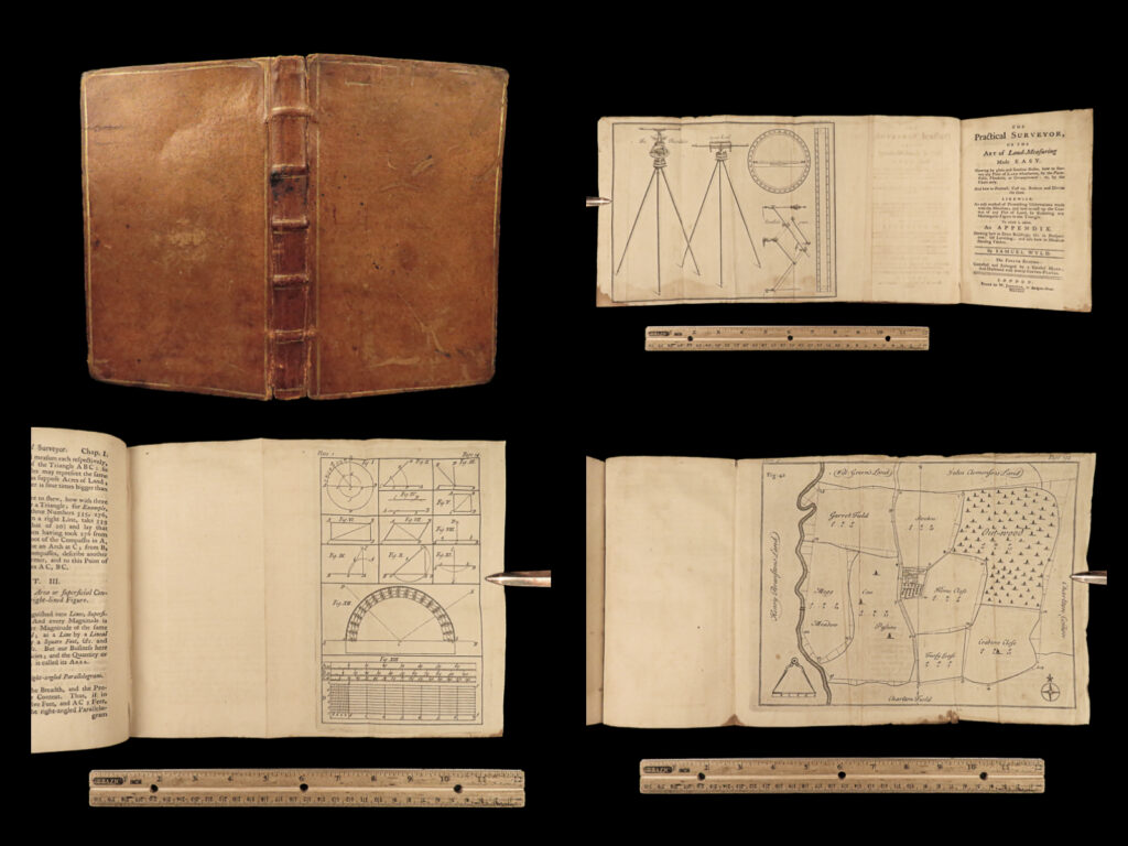
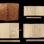
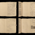
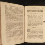
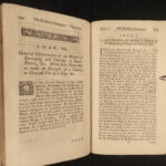
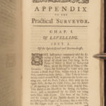
1760 Practical Surveyor Land Survey Geometry Illustrated Perspective Wyld Maps
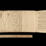
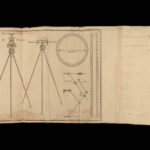
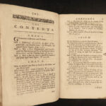
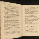
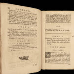
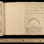
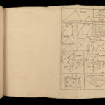
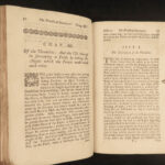
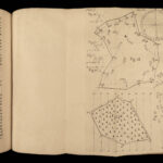
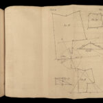
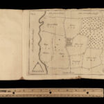
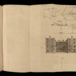
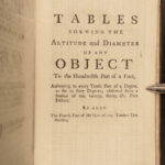
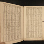
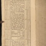
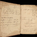
“The Practical Surveyor” is a rare 18th-century treatise on surveying and land measuring by Samuel Wyld. First published in 1725, this book was one of the most comprehensive studies in land surveying methods describing various terrains and surveying equipment used in the 18th-century. It is filled with numerous charts, illustrations, graphs, and engravings and this 1760 edition includes all of the expected folding illustrations. One particularly interesting section found in this work is Wyld’s instruction on how to use a compass.
Item number: #25236
Price: $499
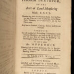
WYLD, Samuel
The practical surveyor, or The art of land-measuring made easy
London: Printed for W. Johnston, 1760.
Details:
- Collation: complete with all pages
- viii, 191, [5]
- Language: English
- Binding: Leather; tight and secure
- Size: ~8in X 5in (20cm x 13cm)
Our Guarantee:
Very Fast. Very Safe. Free Shipping Worldwide.
Customer satisfaction is our priority! Notify us with 7 days of receiving, and we will offer a full refund without reservation!
25236
Category
Medicine & Science
Authors
WYLD, Samuel
Printing Date
18th Century
Language
English
Binding
Leather
Book Condition
Excellent
Collation
Complete

