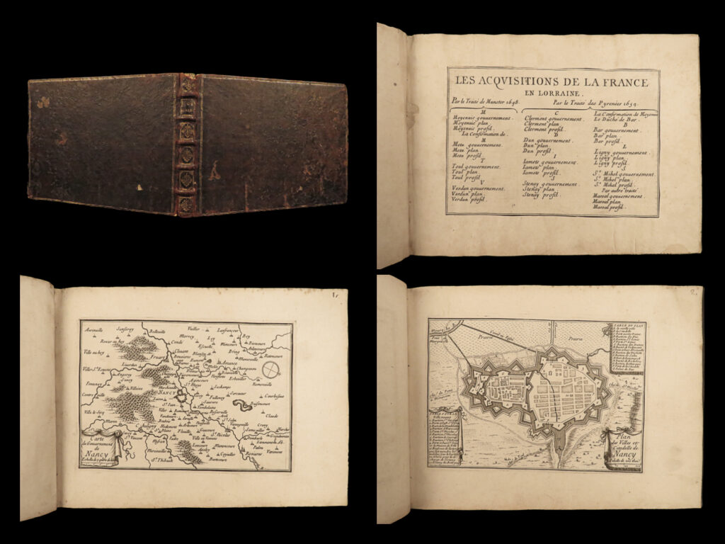
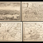
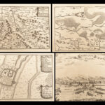
1660 ATLAS 1ed 44 MAPS of Lorraine France Nancy Treaty of Munster & Pyrenees
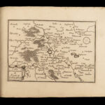
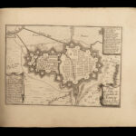
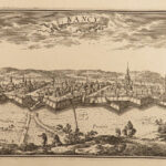
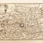
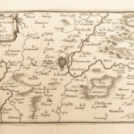
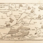
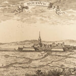
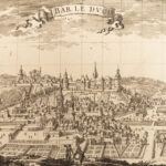
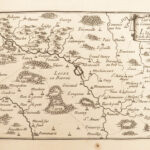
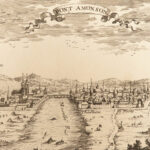
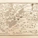
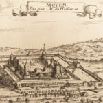
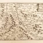
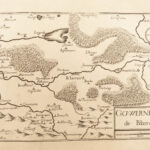
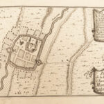
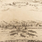
A rare 17th-century edition collection of engravings of French city views from environs based on the towns involved in the Treaty of Munster of 1648 and the Treaty of Pyrenees of 1659. This work contains views and maps of the following cities:
- Stenay
- Dun, Ariege
- Clermont
- Bar
- Ligny
- St Mihel
- Marsal
- Moyenvic
- Metz
- Toul / Nancy
- Verdun
Item number: #23153
Price: $1500
DUVAL, Pierre [cartog.]
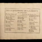
Les acquisitions de la France en Lorraine, Munster 1648, des Pyrenees 1659.
[Paris: 1660]. 1st edition
Details:
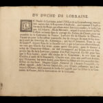
- Collation: Complete with all pages
- 44 hand-numbered plates
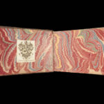
- Provenance:
- Armorial bookplate – David Bosanquet, 1739
- Handwritten – Gerxe
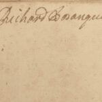
- Handwritten – Richard Bosanquet
- Language: French
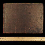
- Binding: Leather; tight and secure
- Size: ~6.5in X 8.75in (16.5cm x 22cm)
- VERY rare and desirable
Our Guarantee:
Very Fast. Very Safe. Free Shipping Worldwide.
Customer satisfaction is our priority! Notify us with 7 days of receiving, and we will offer a full refund without reservation!
23153
Category
Voyages & Exploration & Maps
Authors
DUVAL, Pierre [cartog.]
Printing Date
17th Century
Language
French
Binding
Leather
Book Condition
Excellent
Collation
Complete

