1772 ATLAS MAPS Geographical Grammar Salmon Europe China Colonial USA Voyages

Thomas Salmon’s “New Geographical and Historical Grammar” is an important 18th-century geography book filled with impressive folding maps. His understanding of the world was extent due in part to him joining George Anson on his tour of the world.


1772 ATLAS MAPS Geographical Grammar Salmon Europe China Colonial USA Voyages
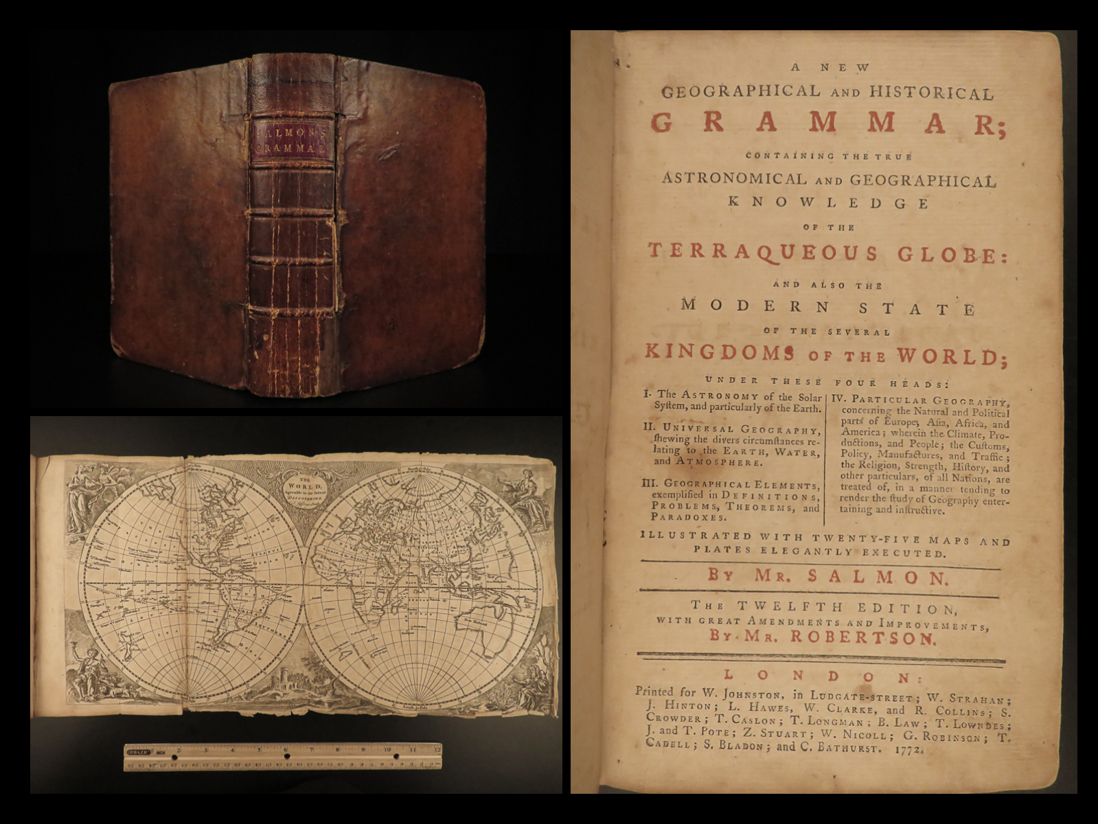
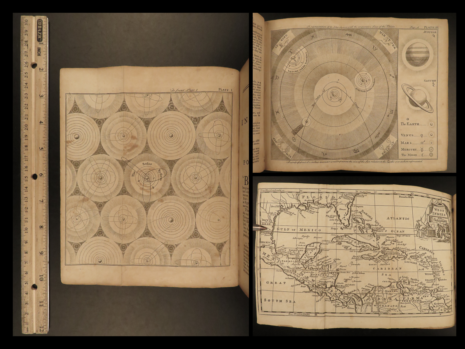
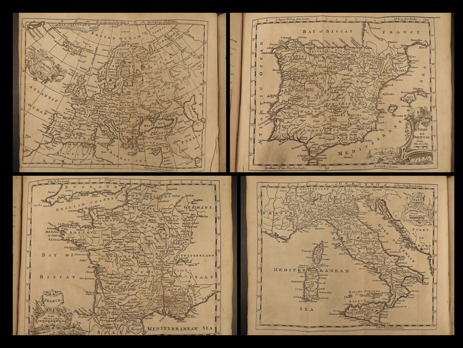
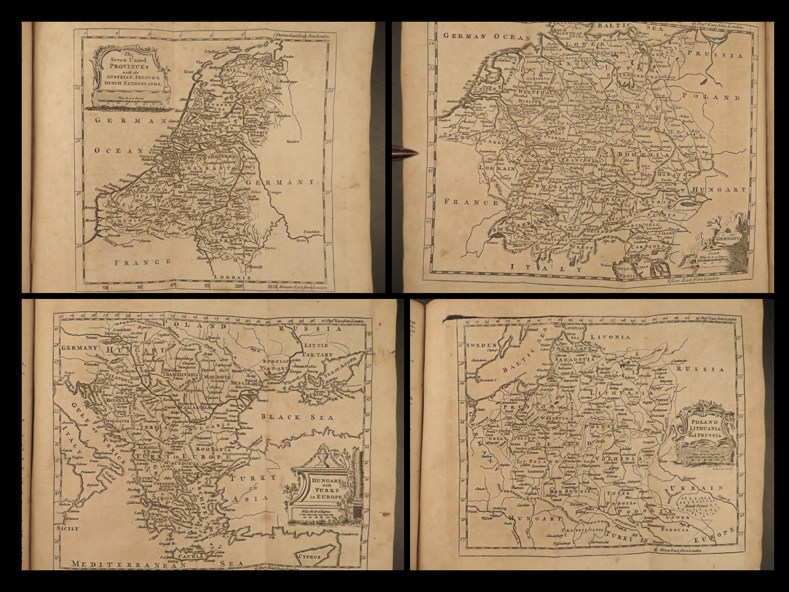
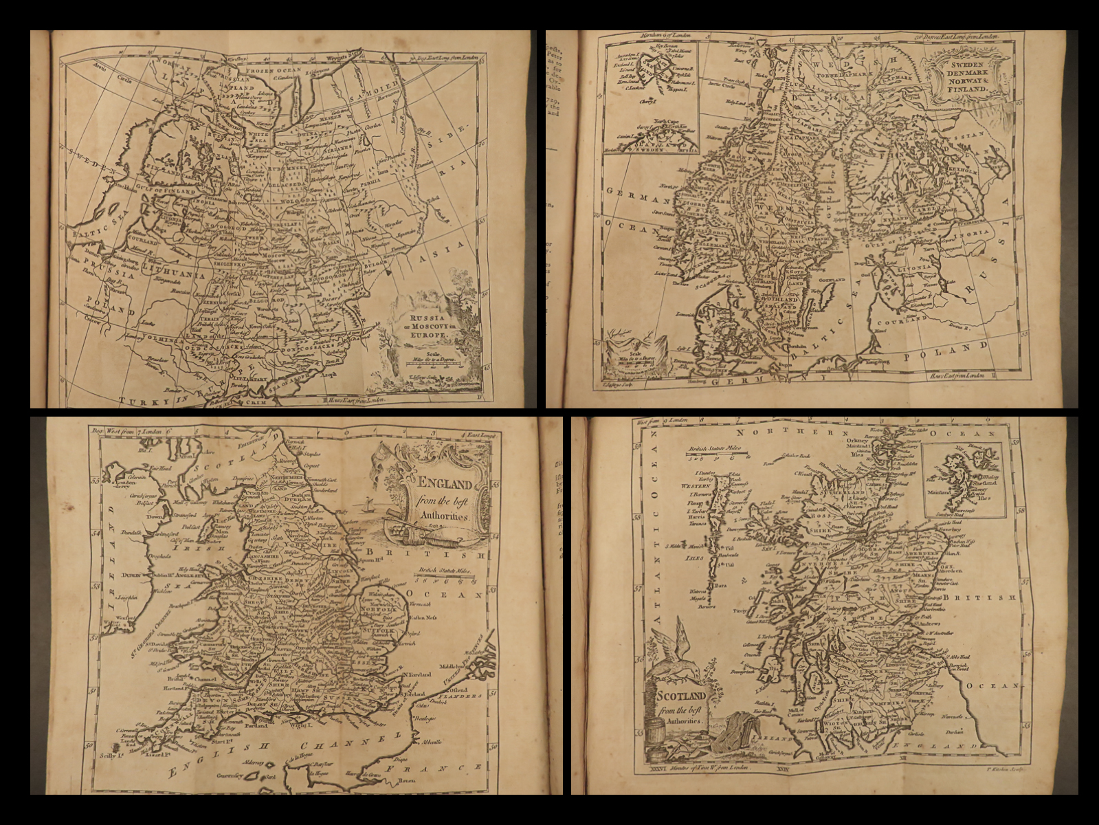
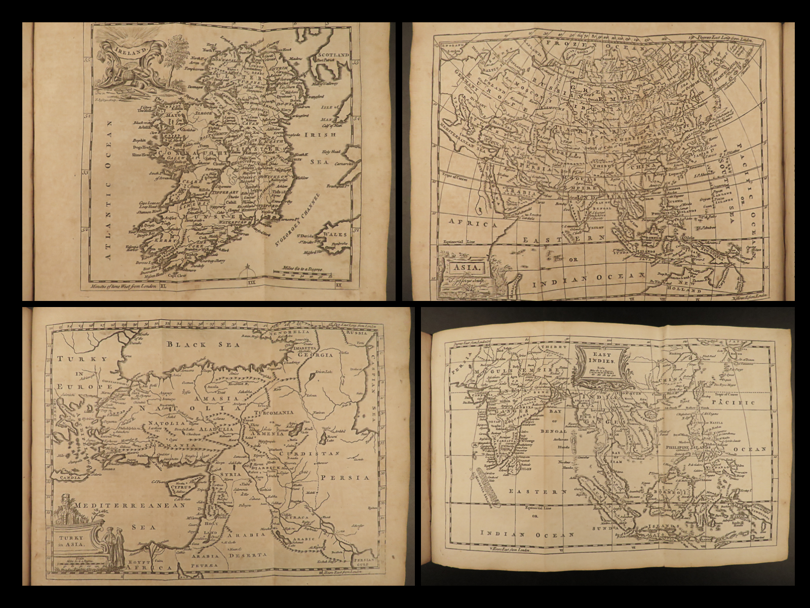
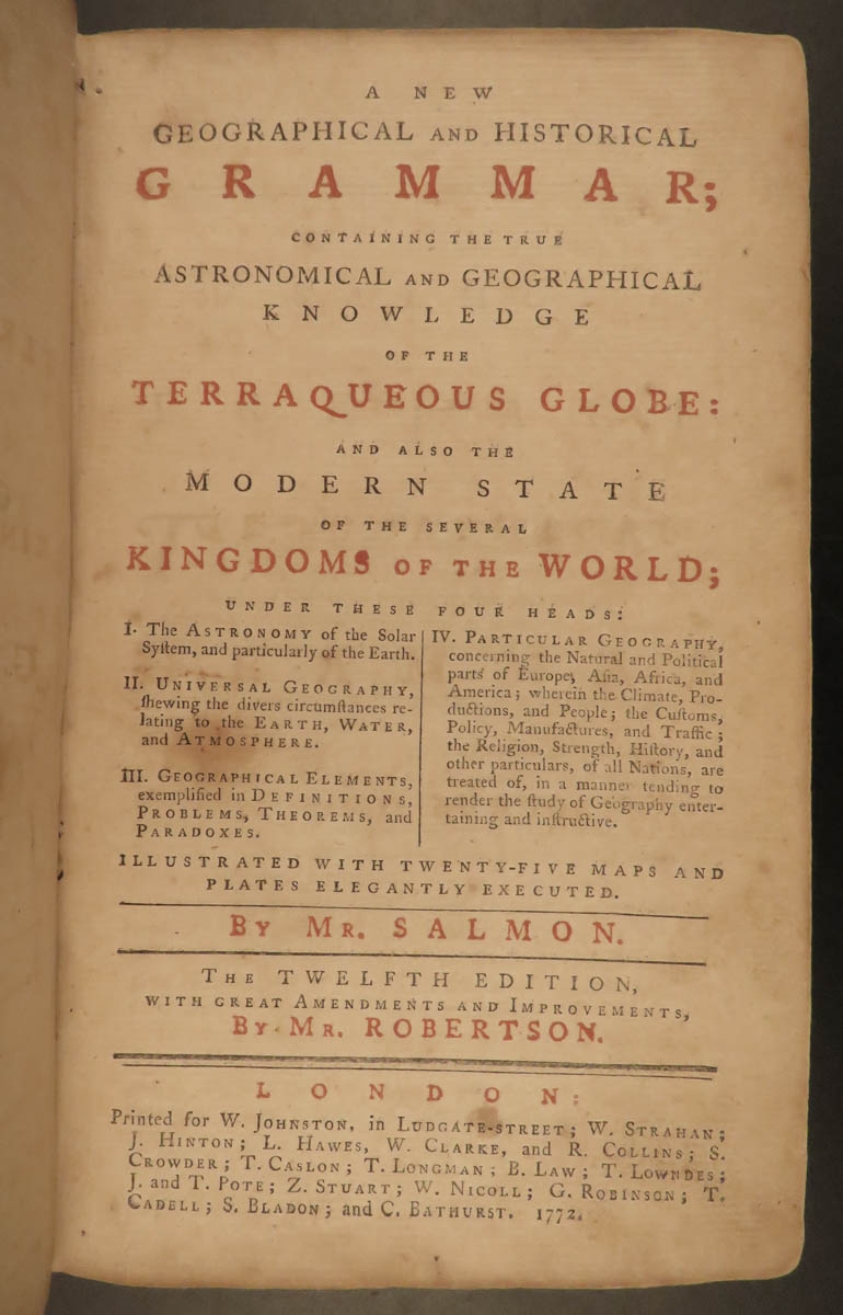
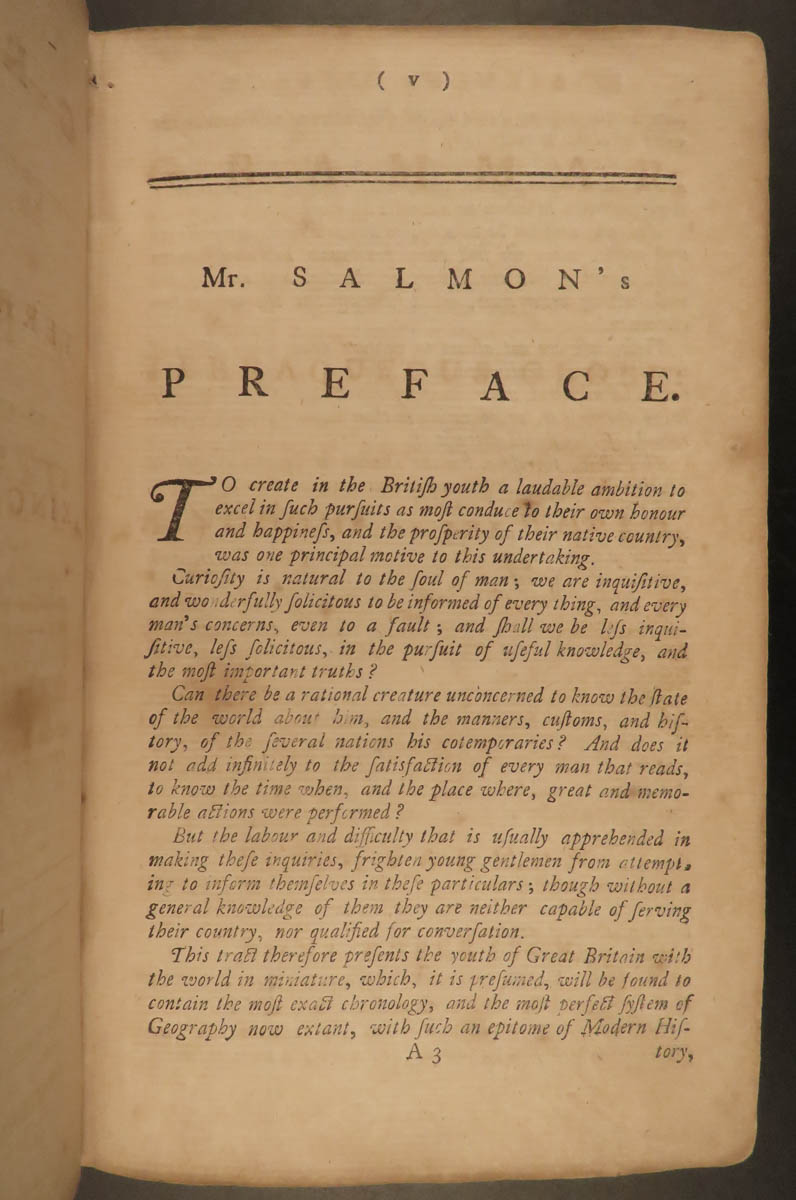
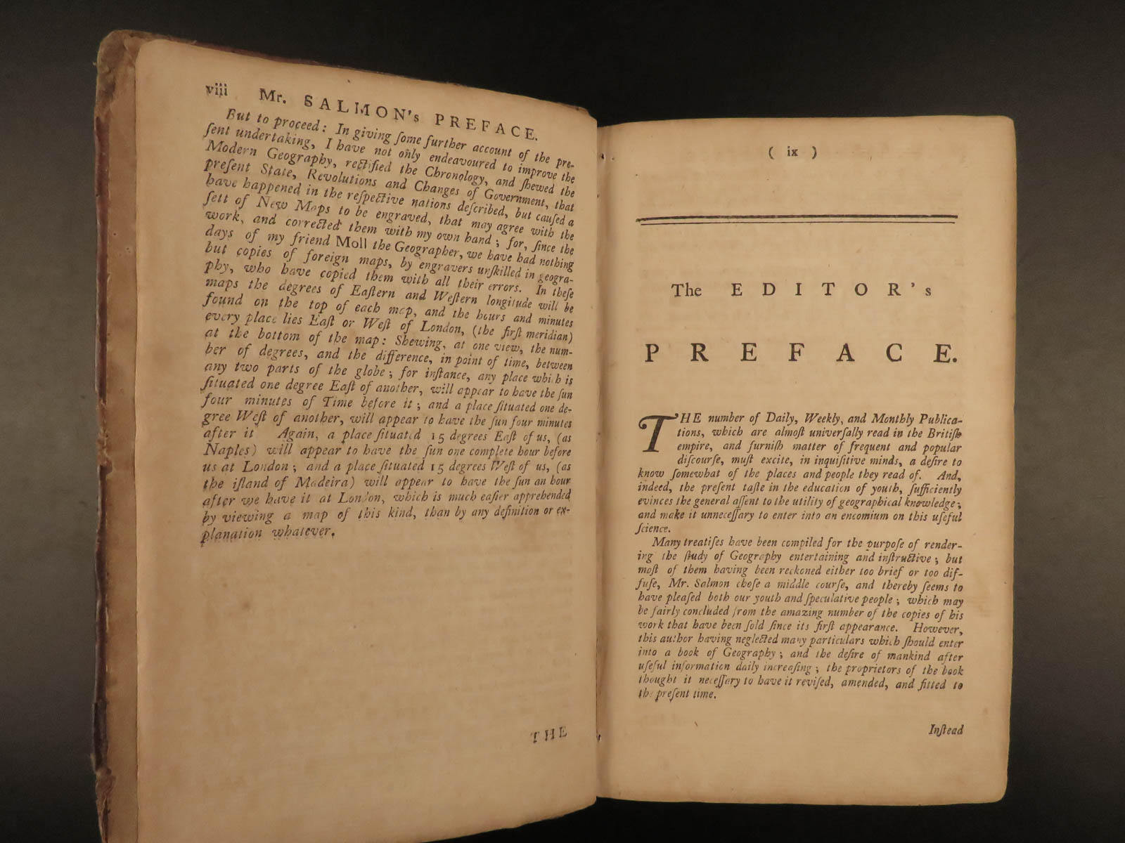
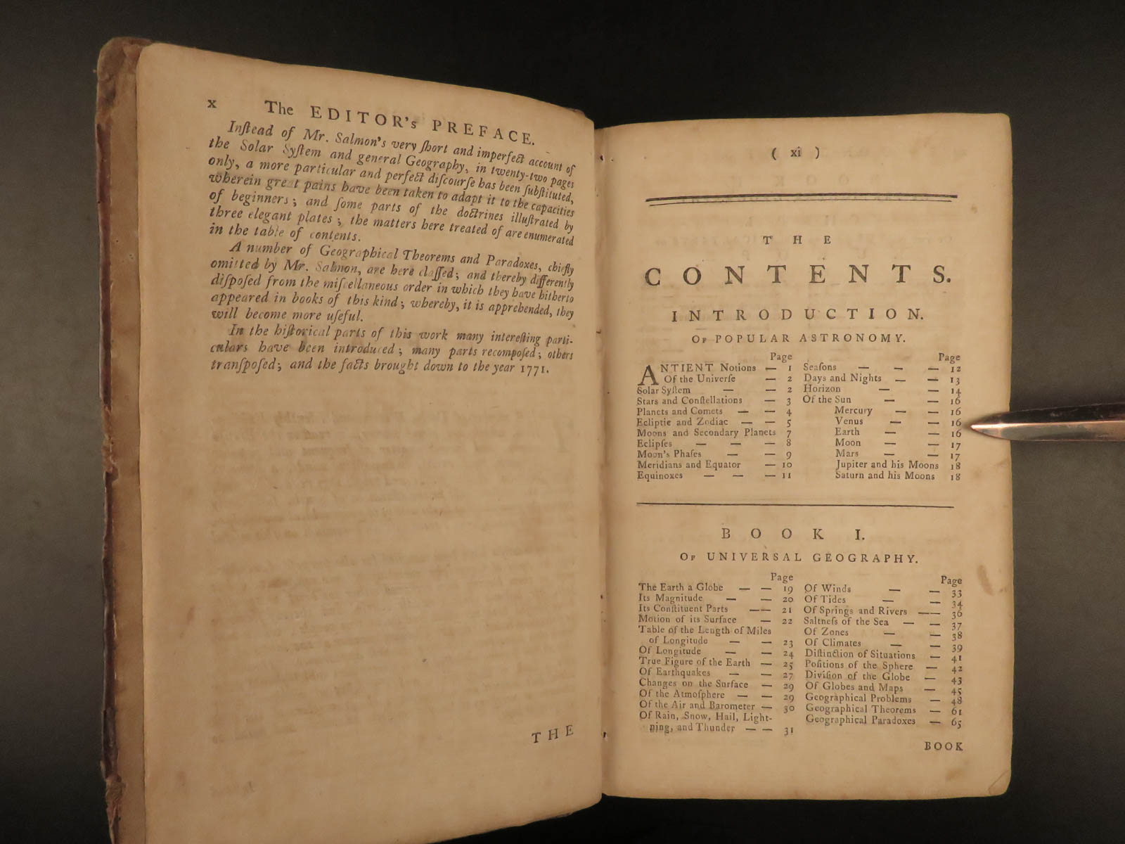
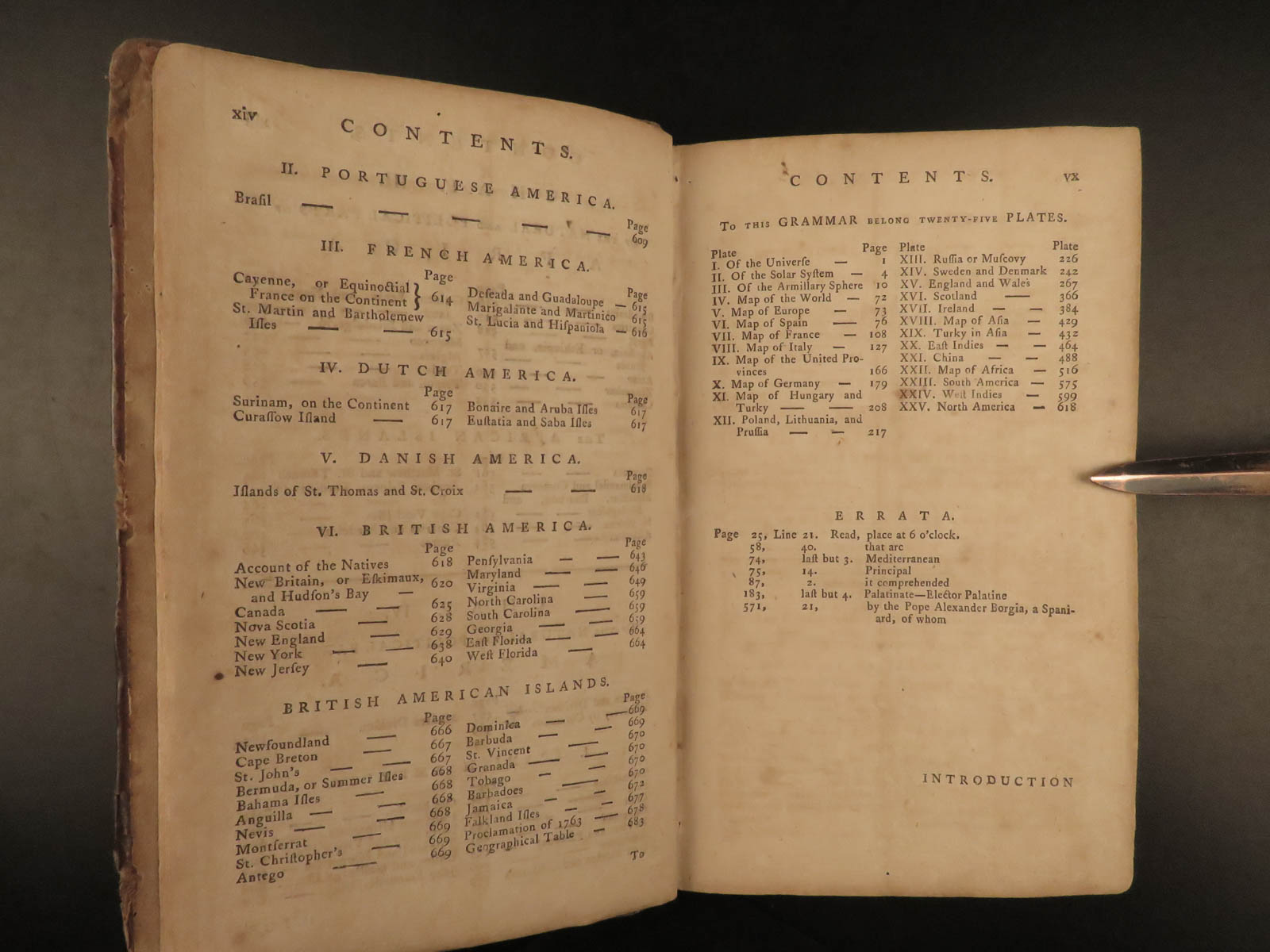
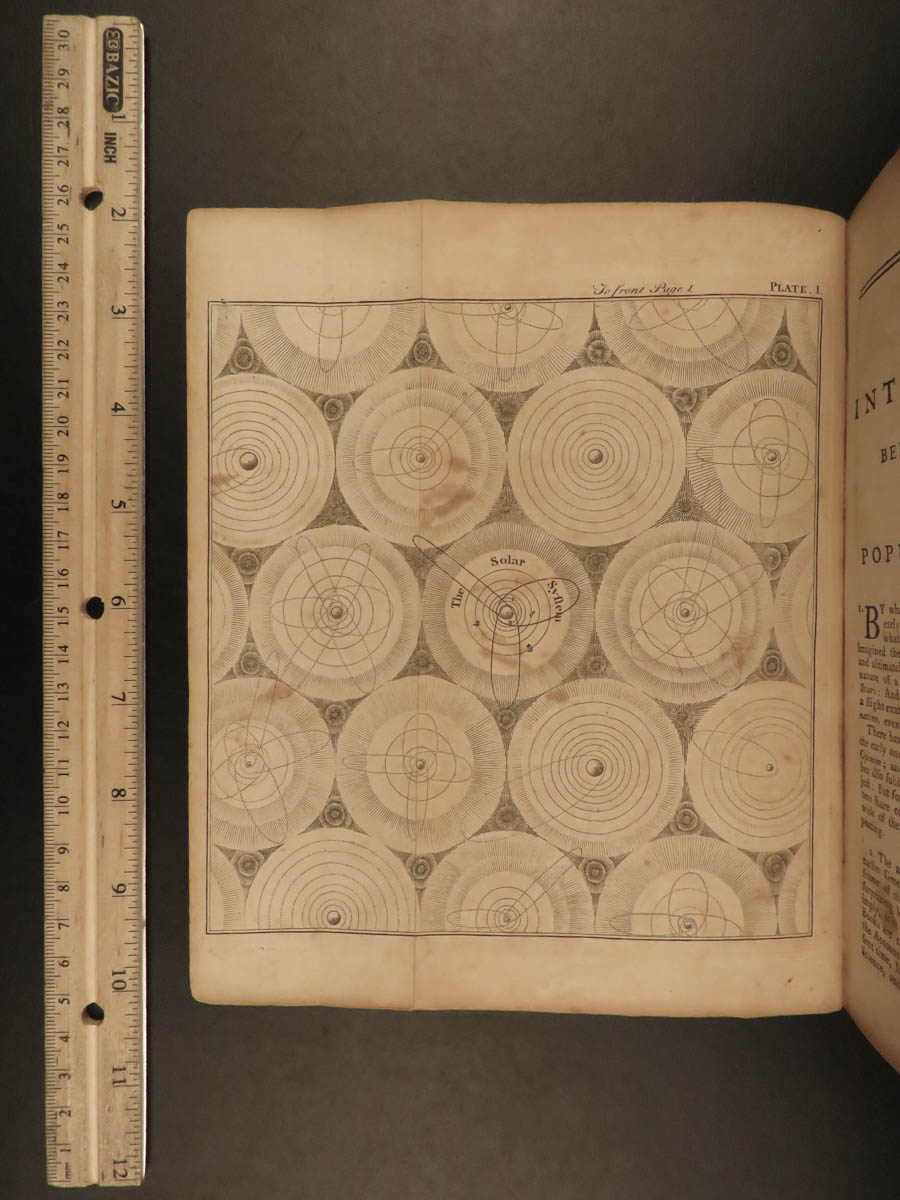
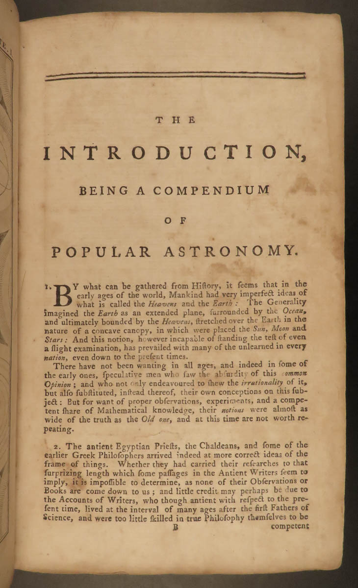
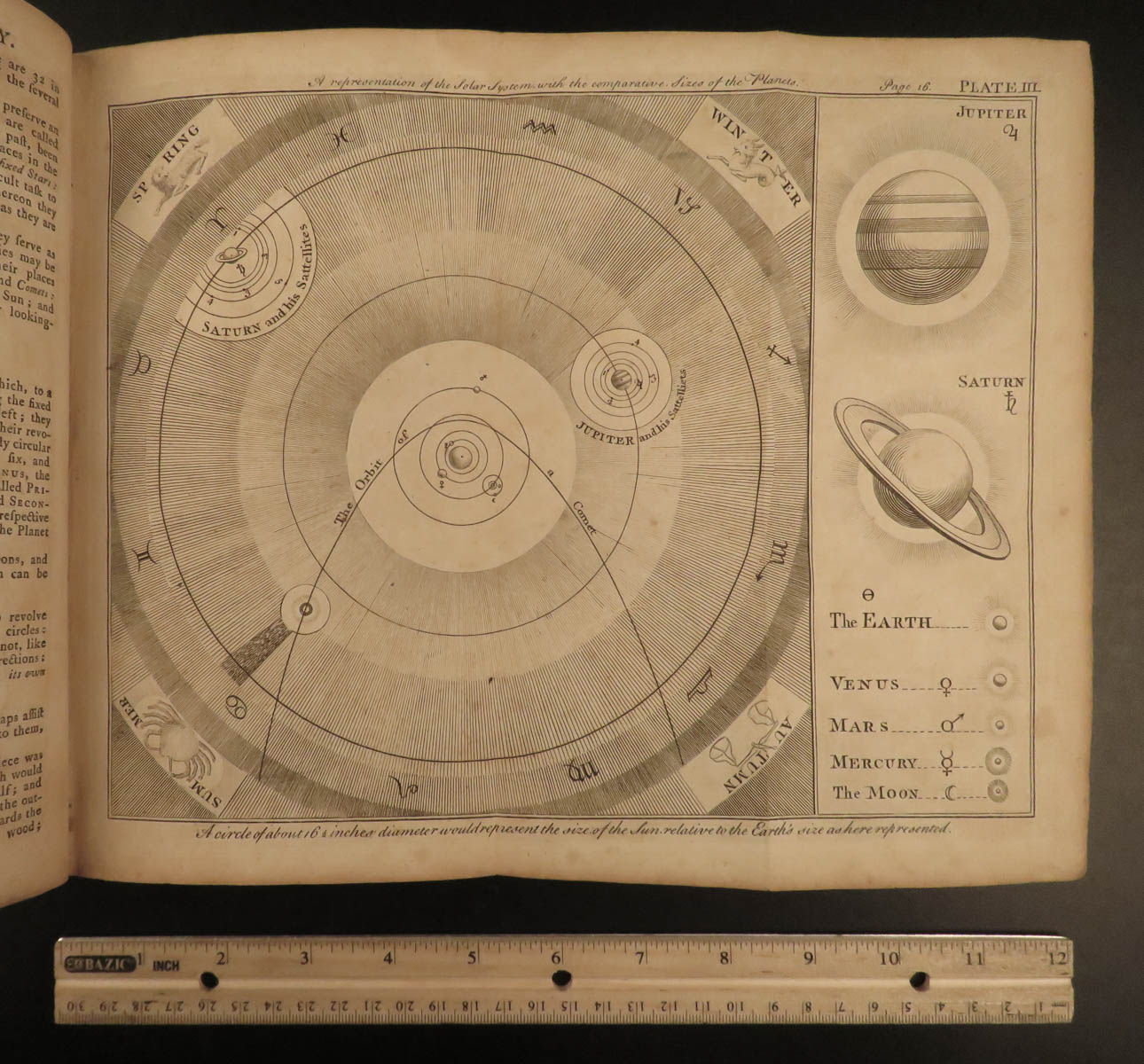
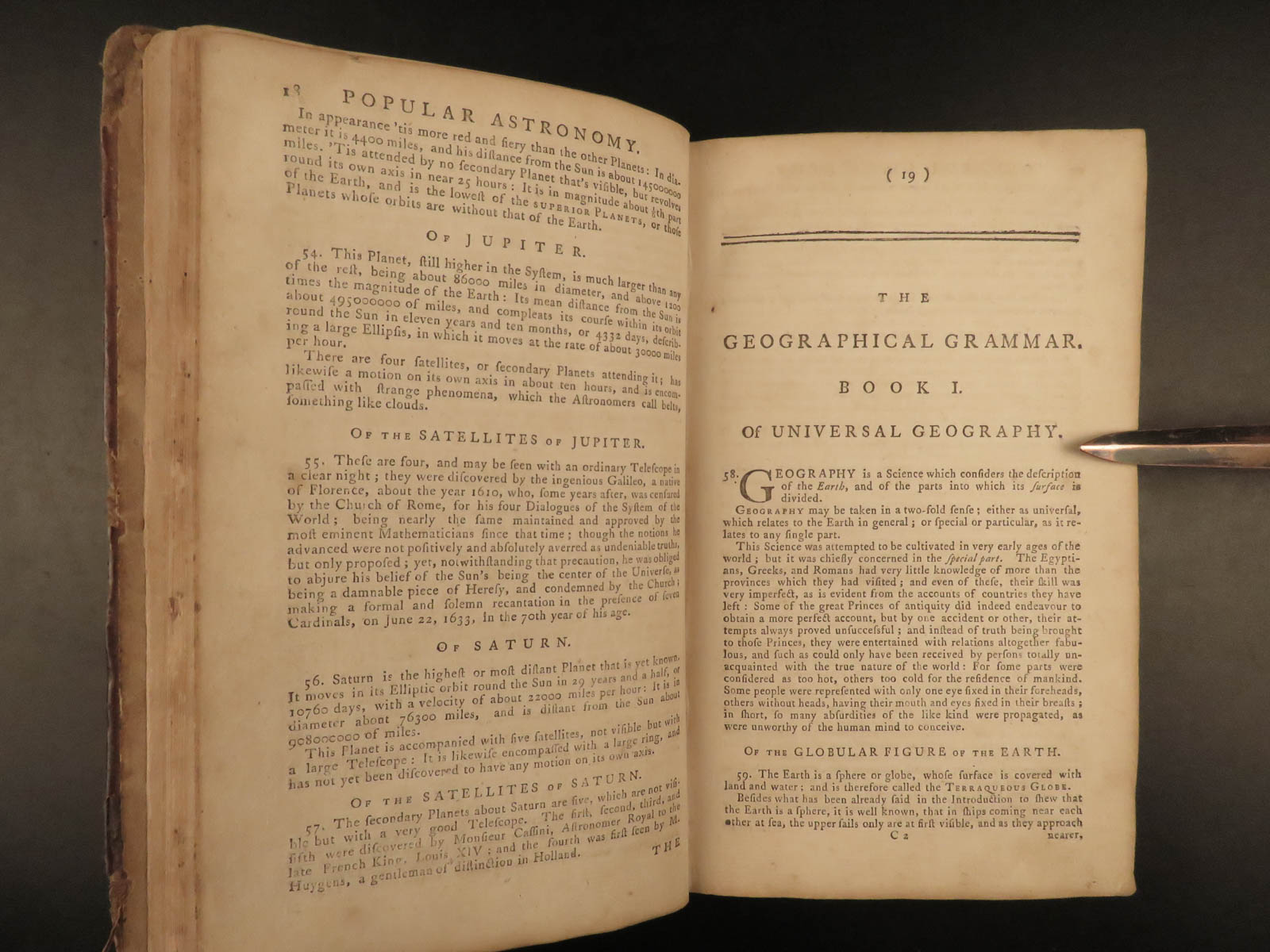
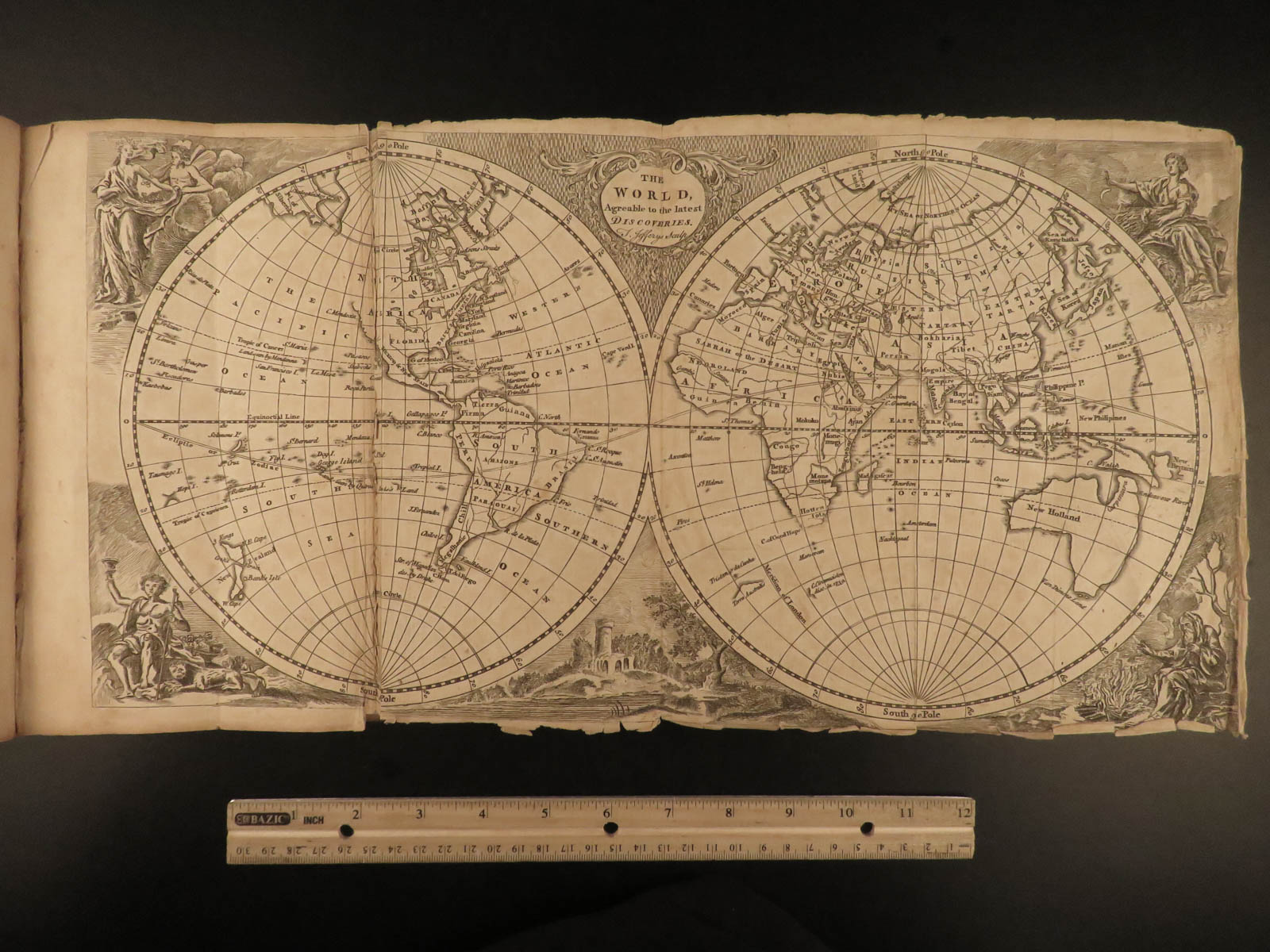
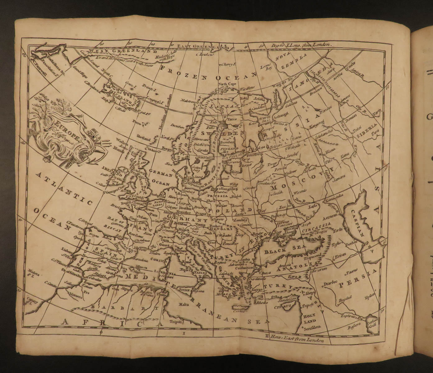
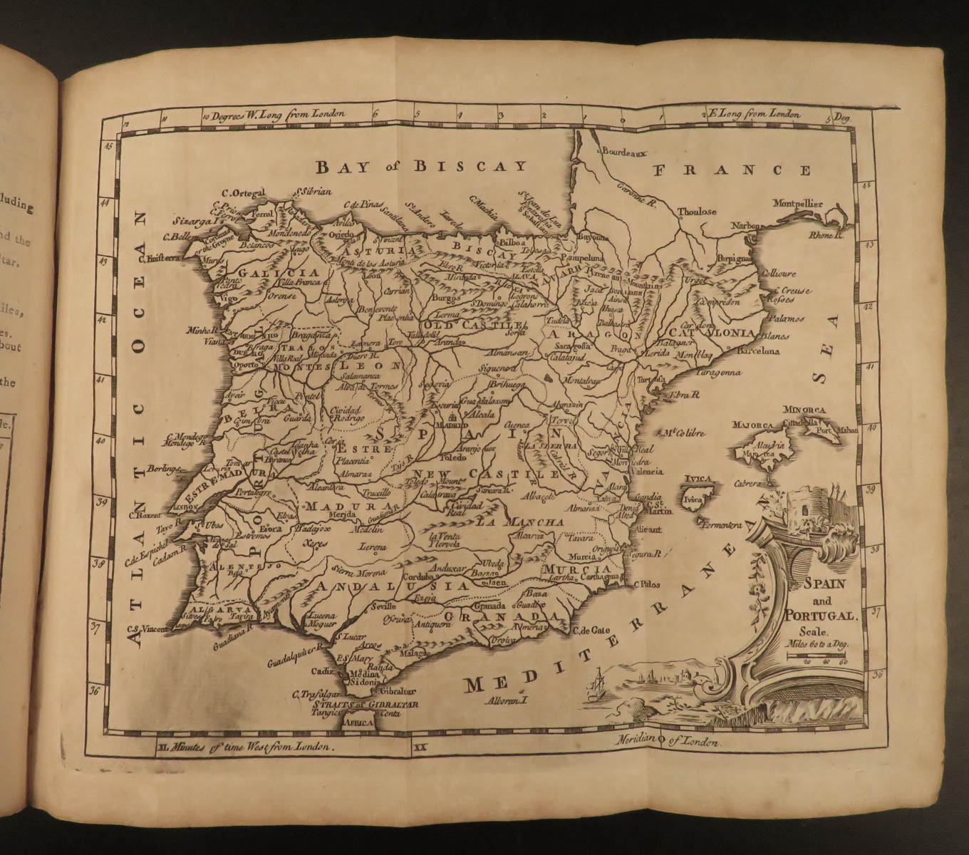
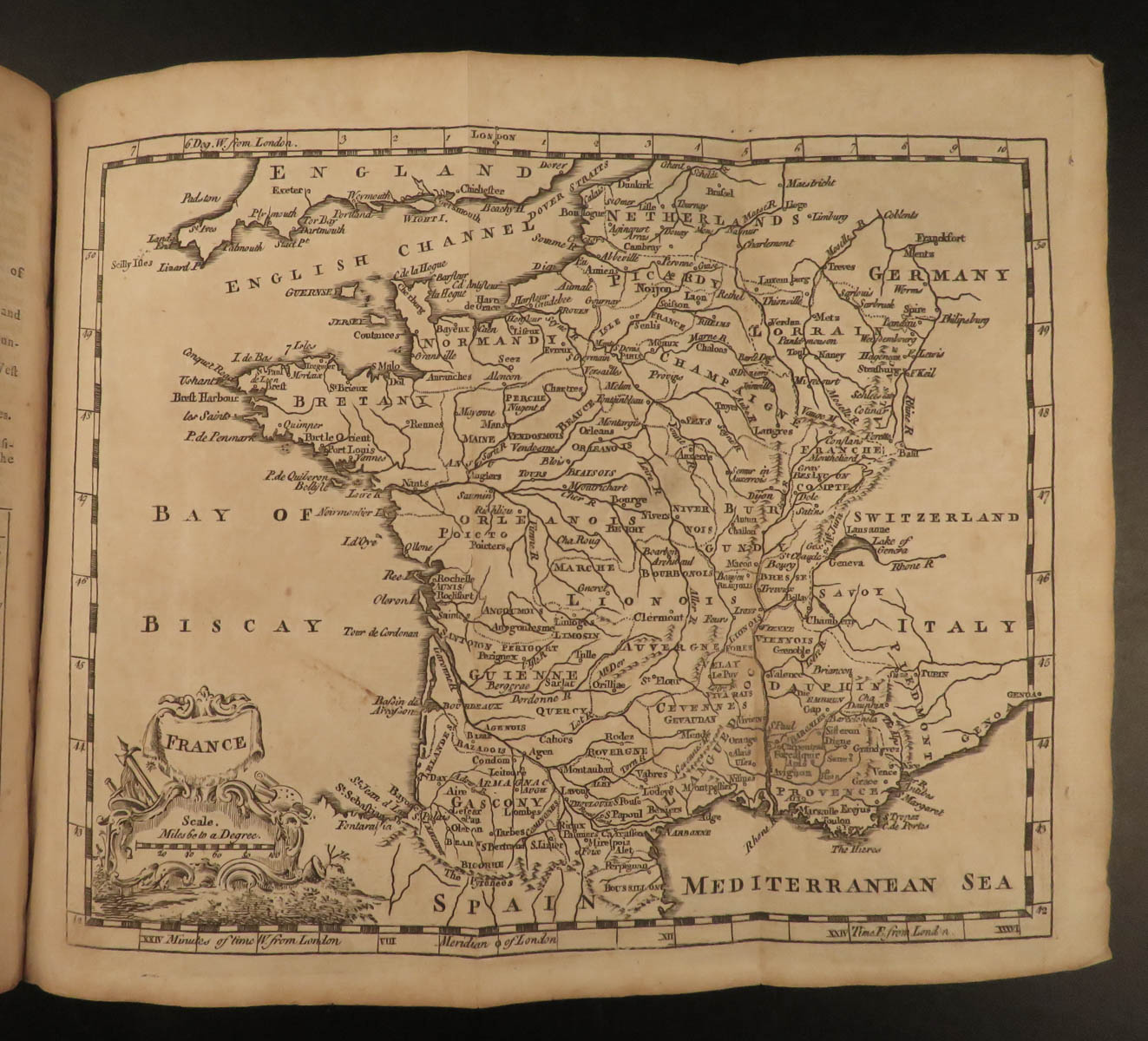
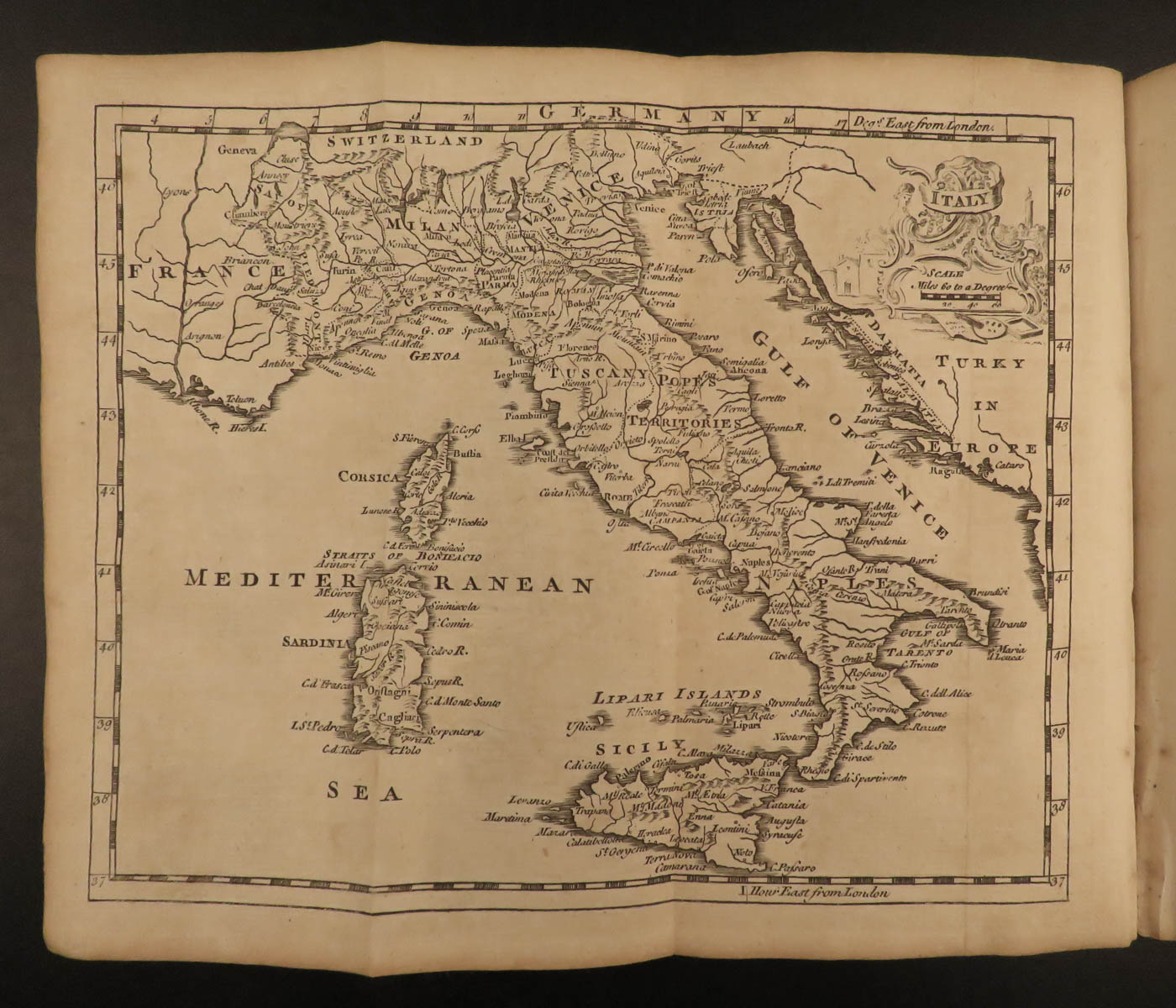
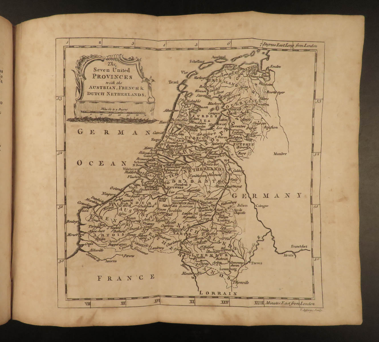
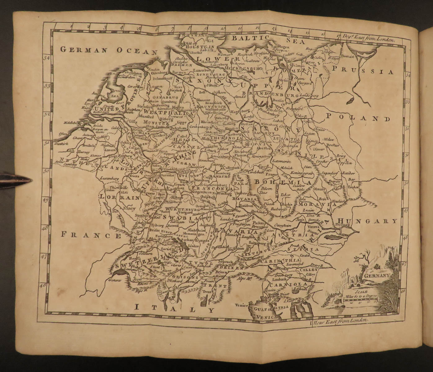
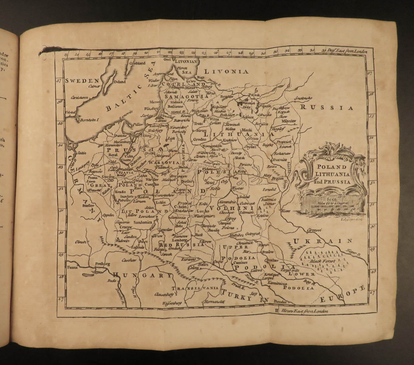
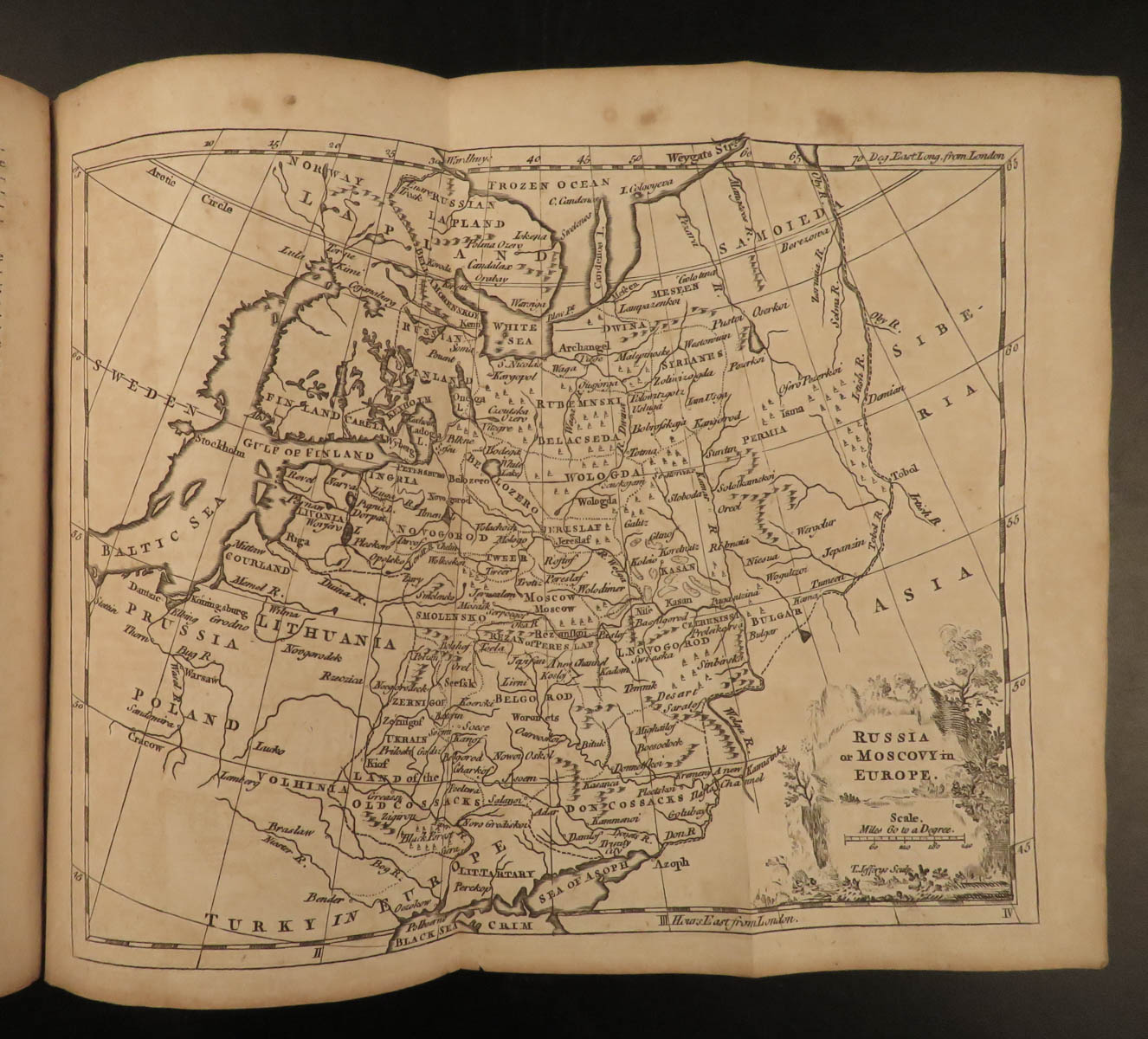
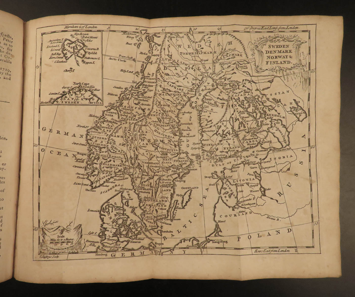
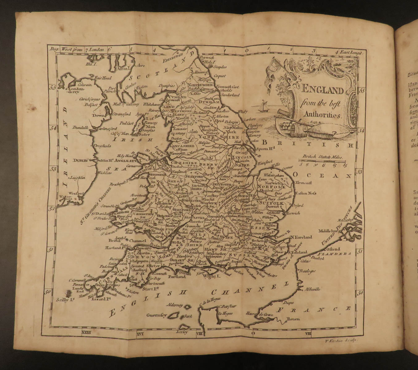
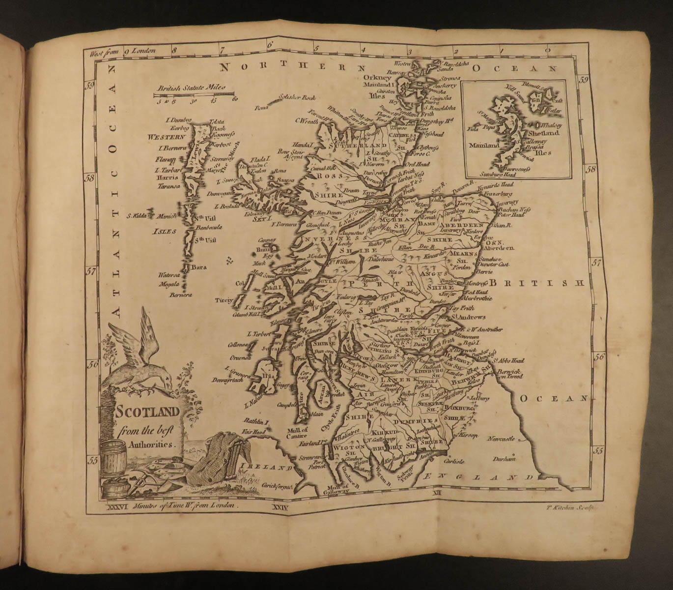
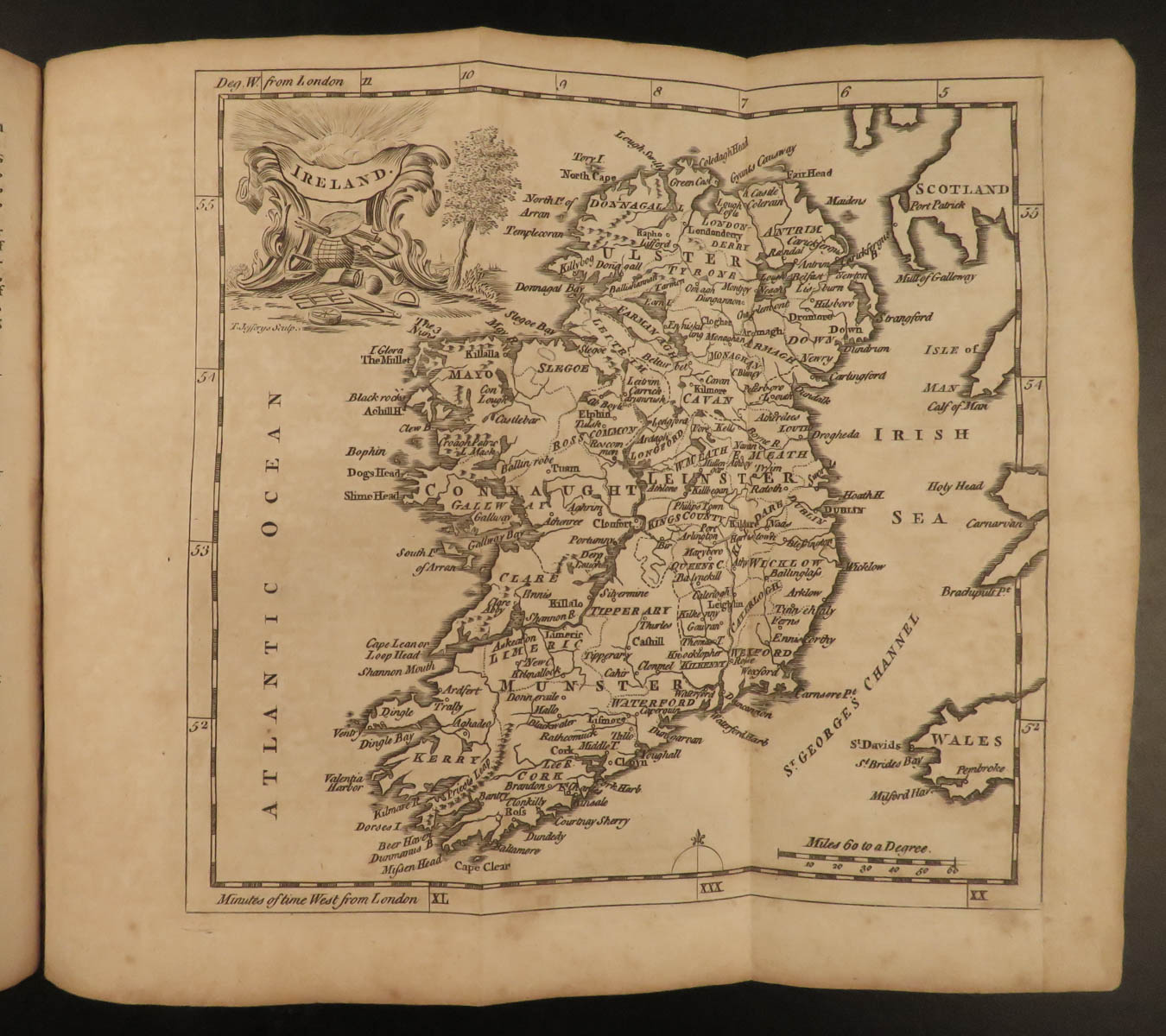
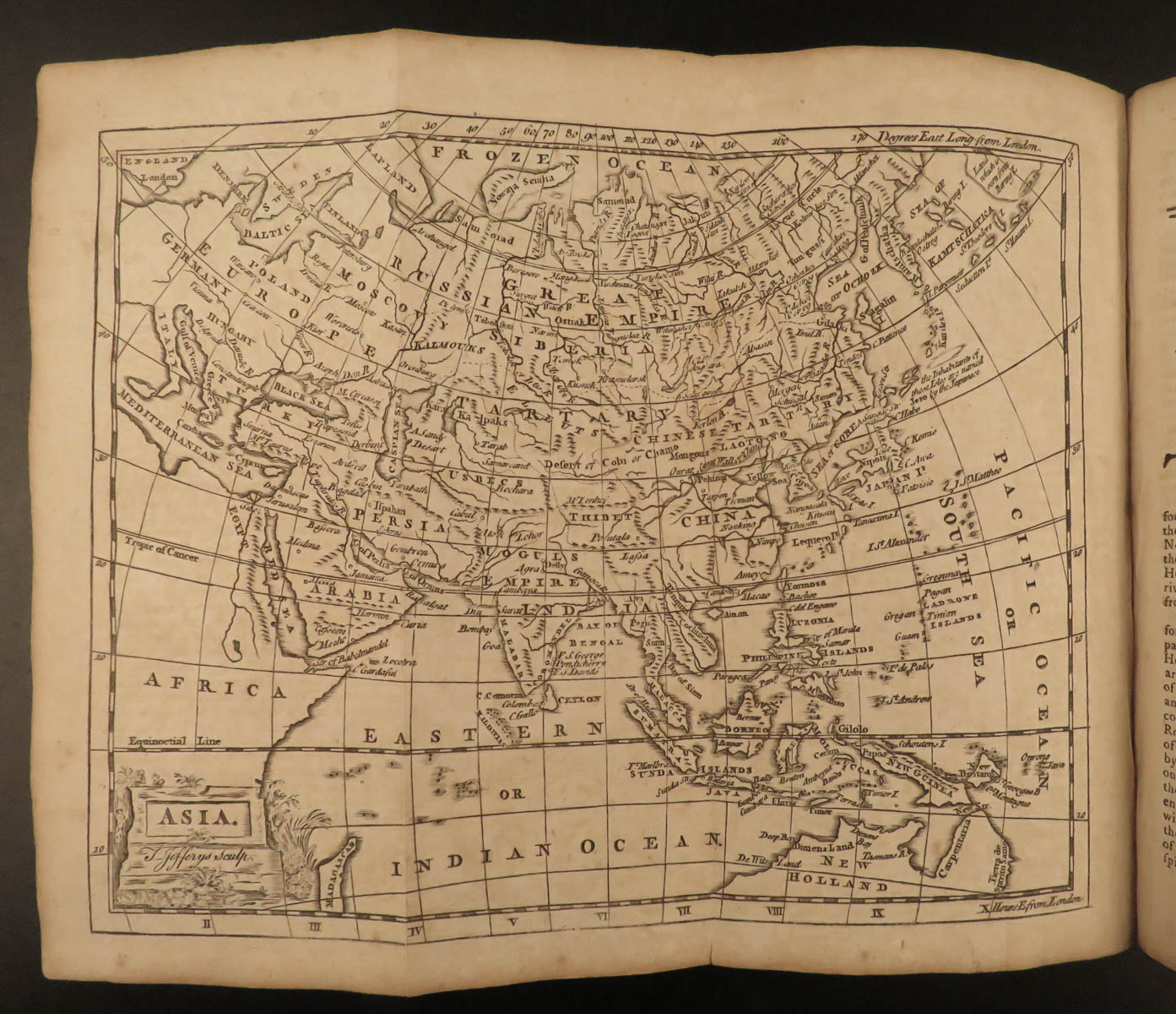
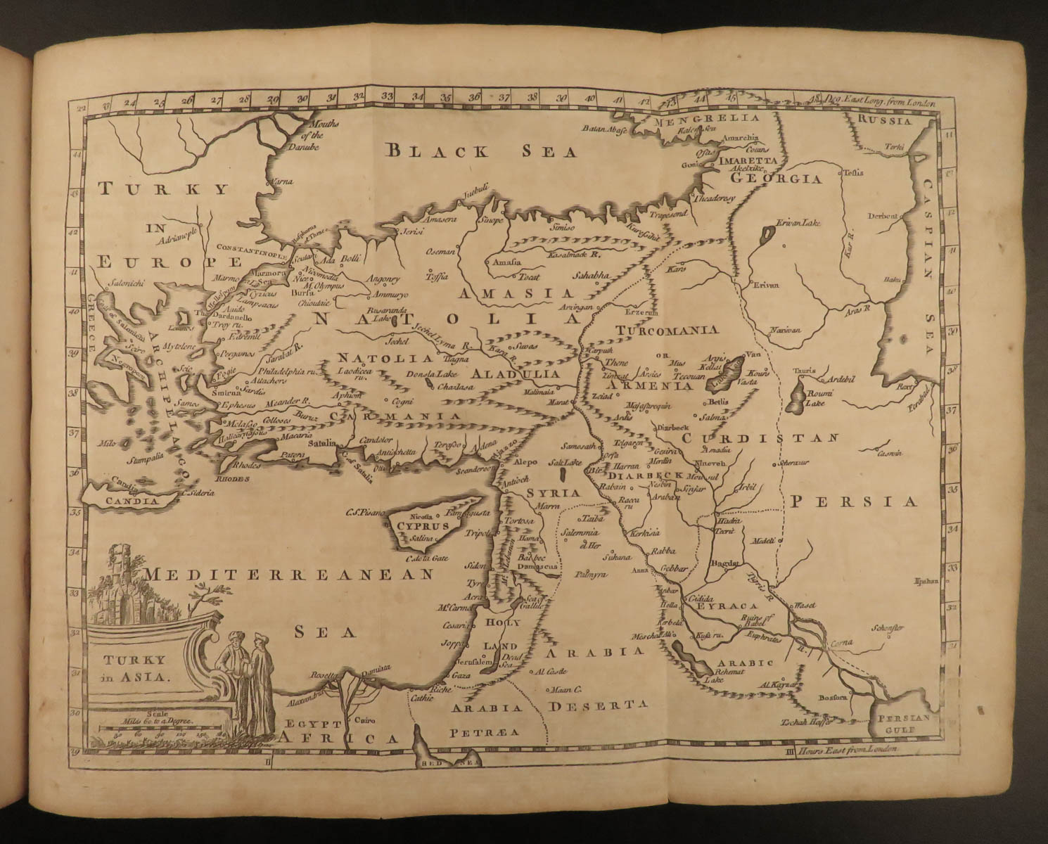
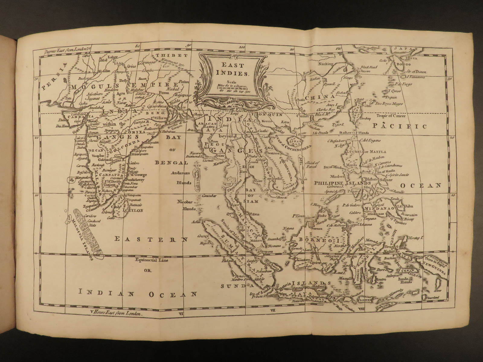
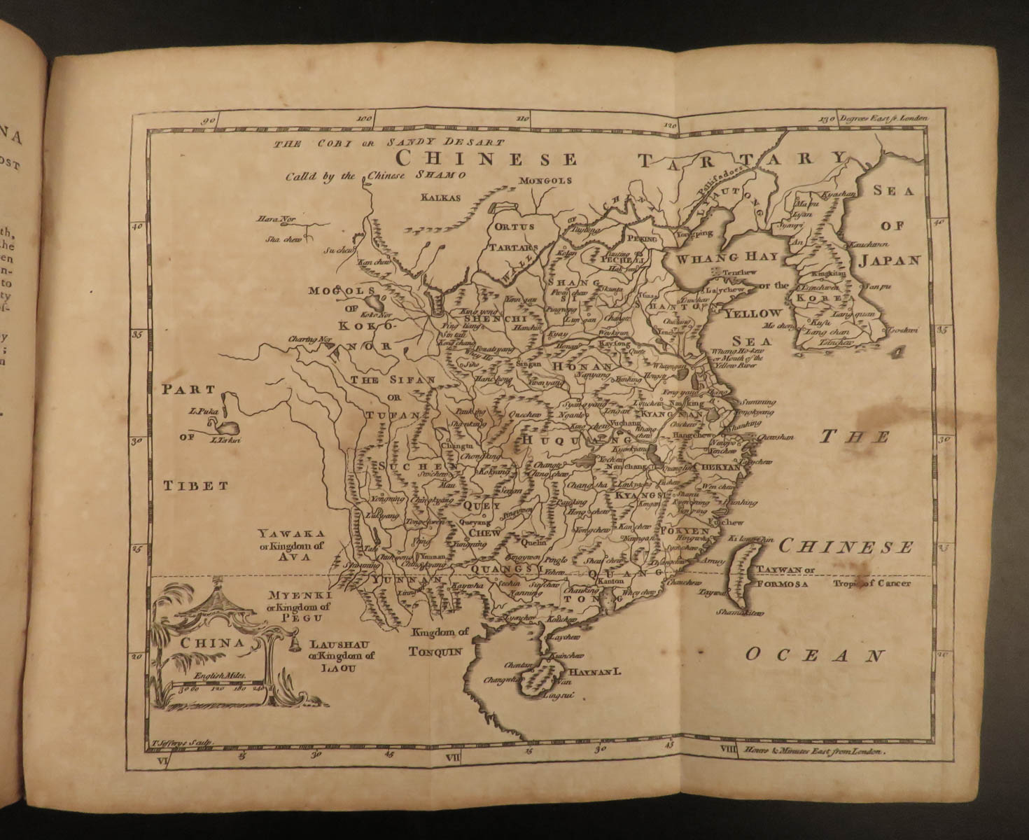
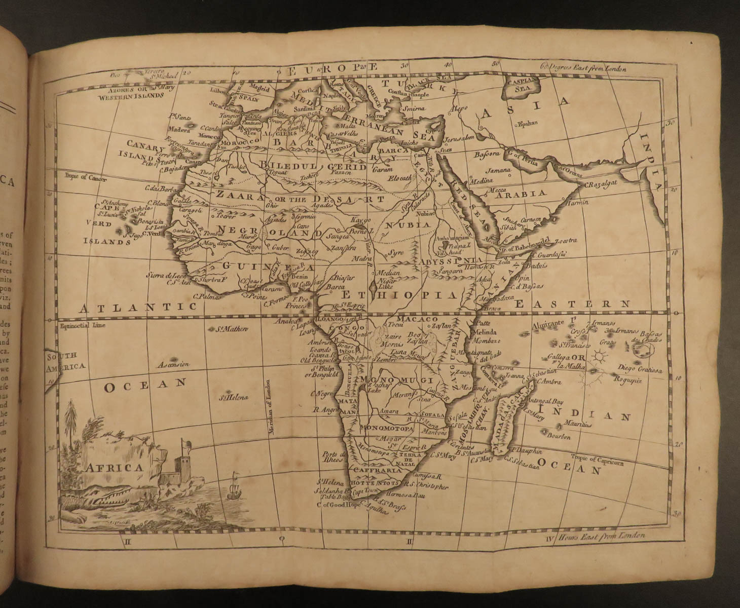
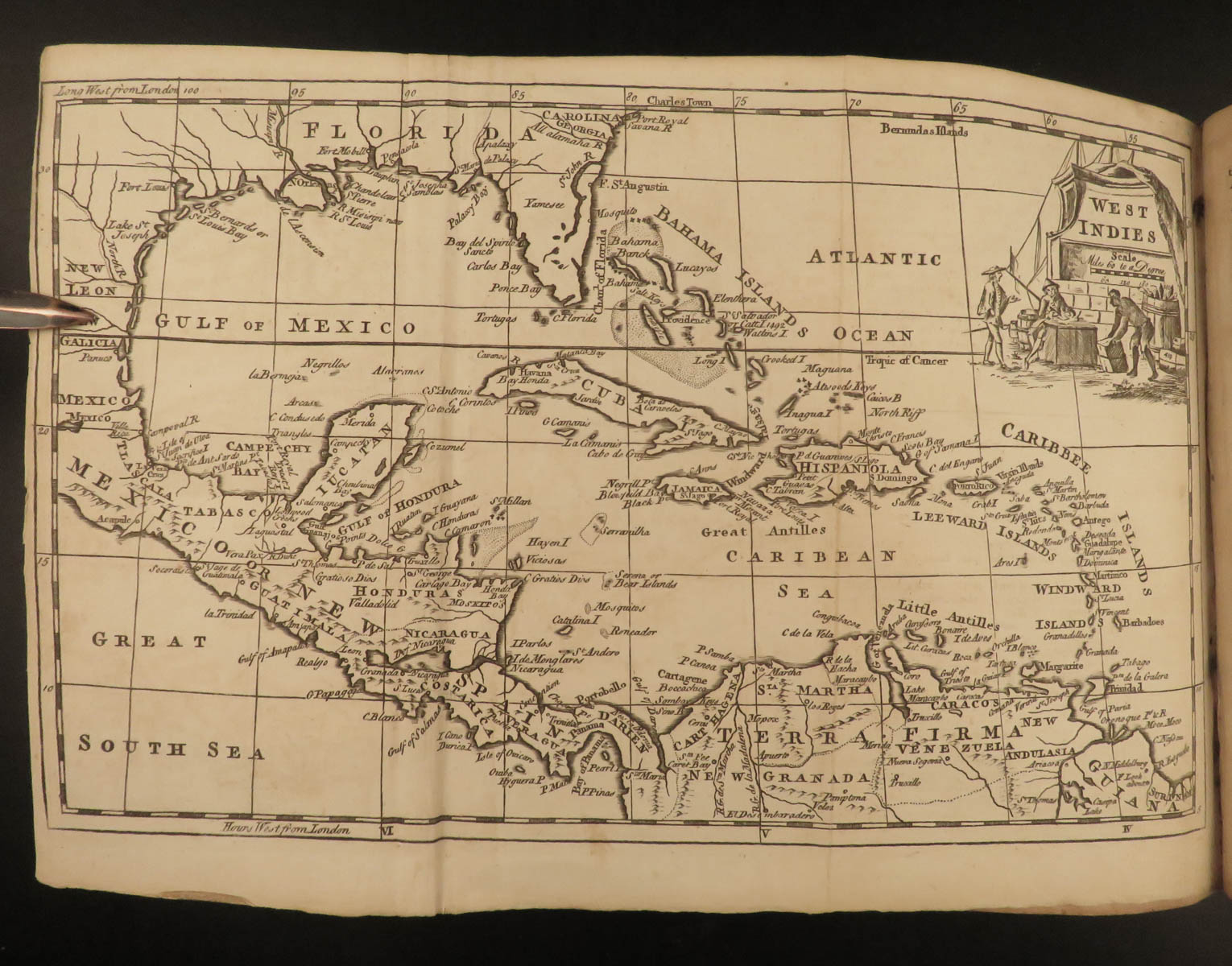
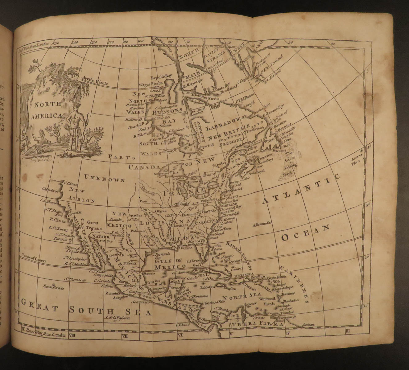
Printed in London in 1772, this twelfth edition of A New Geographical and Historical Grammar offers a complete Enlightenment-era vision of the known world—astronomically, geographically, and politically. First composed by Mr. Salmon and later extensively amended by Mr. Robertson, the work was explicitly intended to prepare British youth for civil service, global awareness, and scholarly excellence. This copy is complete with all 25 engraved maps, including a double-hemisphere world map and diagrams of the Solar System and celestial spheres.
Designed to be “the world in miniature,” the book is structured across four distinct thematic sections:
-
Astronomy of the Solar System – An introduction to celestial mechanics, the planets, eclipses, and Earth’s diurnal and annual motion, including detailed visual plates of the armillary sphere and comparative planetary orbits.
-
Universal Geography – Coverage of climate, tides, oceans, atmosphere, earthquakes, and winds, aimed at showing Earth’s natural systems as interrelated elements.
-
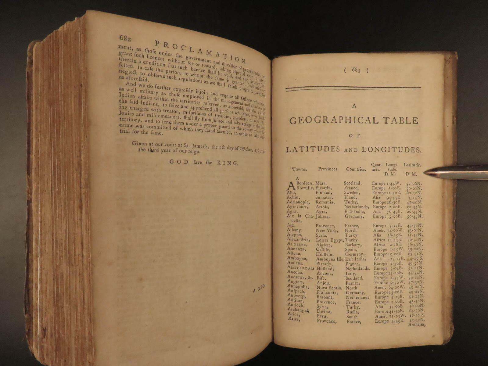
Geographical Elements – Definitions, paradoxes, and theorems of geography, along with navigational knowledge and positional problems. Useful both as an academic reference and a practical navigational aid.
-
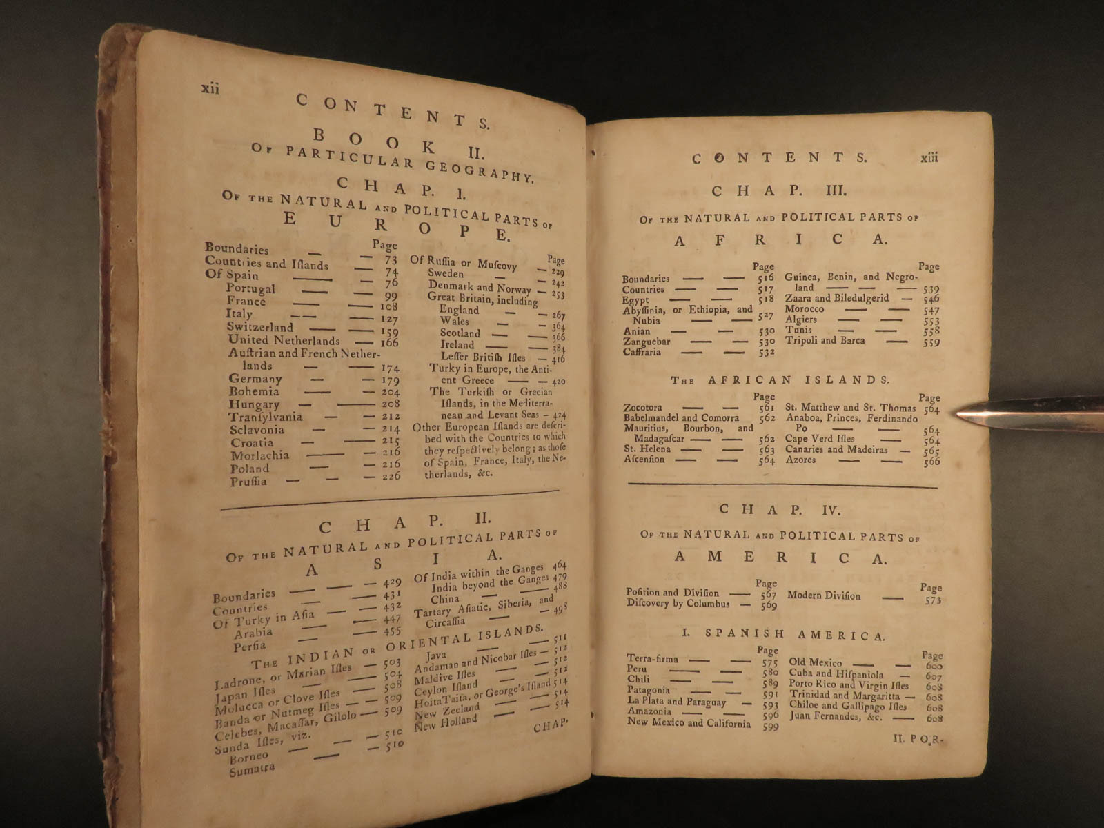
Particular Geography – An extensive account of the natural and political parts of Europe, Asia, Africa, and the Americas, including descriptions of governments, trade, customs, and colonies.
Notably, this edition includes early references to New Holland (Australia), New Zeeland, George’s Island (Tahiti), and other Pacific regions recently entered into British imperial and exploratory interest. The treatment of British America is extensive, including Canada, the West Indies, and the American colonies, just before the revolutionary period.
Salmon’s preface is a striking document in its own right, promoting the pursuit of useful knowledge, respectful global awareness, and an understanding of geography as a tool of statesmanship. He writes of the necessity for British travelers and legislators to grasp the customs, histories, and structures of nations beyond their own, emphasizing that ignorance of geography hinders civic service.
The volume is presented in its original full calf binding with raised bands and a red morocco spine label. Moderate wear is consistent with age, but the structure remains sound. Internally, the pages are clean and the maps—many of them fold-outs—are complete and remarkably well-preserved, with only mild toning. The iconic double-hemisphere world map shows a pre-Cook Pacific and a still-evolving understanding of southern continents and colonial borders.
In format, this is a compact small octavo (~7″ x 4.25″), intended to be both portable and utilitarian. The volume balances scholarly content with Enlightenment-era accessibility and ambition. Whether used by travelers, students, merchants, or educators, it offered a practical yet deeply intellectual guide to global knowledge during one of the most dynamic centuries of British expansion and scientific curiosity.
An ideal addition for collectors of early atlases, pre-industrial science texts, colonial-era educational works, and antique world maps.
Item number: #20201
Price: $950
SALMON, Thomas
A new geographical and historical grammar : containing the true astronomical and geographical knowledge of the terraqueous globe
London : Printed for W. Johnston, 1772.
Details:
- Collation:
- vx, [1], 696
- 24 maps (of 25)
- wanting plate XXIII, of South America to face p. 575
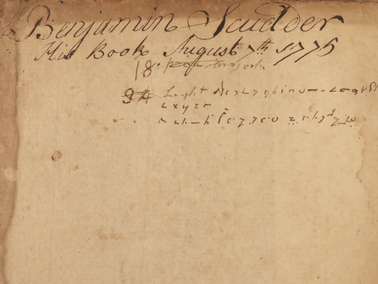
- Provenance: Handwritten – Benjamin Scudder, 1775
- Language: English
- Binding: Leather; secure
- Visible repairs to attach boards on headband and tailband
- Size: ~8.25in X 5.25in (21cm x 13.5cm)
Our Guarantee:
Very Fast. Very Safe. Free Shipping Worldwide.
Customer satisfaction is our priority! Notify us with 7 days of receiving, and we will offer a full refund without reservation!
20201
Category
Voyages & Exploration & Maps
Authors
SALMON, Thomas
Printing Date
18th Century
Language
English
Binding
Leather
Book Condition
Excellent
Other Books you might like...
-
Sale!
 Add to cart
1825 1ed Wanderings South America Natural History Darwin & Wallace Inspiration
Original price was: $550.00.$450.00Current price is: $450.00. -
Sale!
 Add to cart
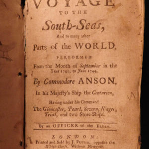
1744 RAREST George Anson Voyage to South-Seas South America Brazil Peru Chile
Original price was: $2,500.00.$1,950.00Current price is: $1,950.00. -
Sale!
 Add to cart
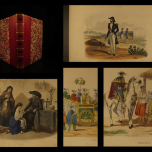
1843 Lucry Voyages Atlas CHINA South America Jungles Color Engravings CORTEZ
Original price was: $950.00.$750.00Current price is: $750.00. -
Sale!
 Add to cart
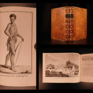
1790 1st ed Vaillant Africa Voyages Hottentot Ethnology Zoology Birds Giraffe 2v
Original price was: $950.00.$850.00Current price is: $850.00.