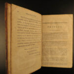
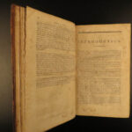
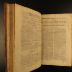
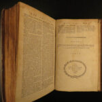
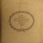
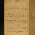
1797 AMERICAN Naval Gazetteer 1ed Voyages Malham Sailing MAPS Atlas Africa Ports
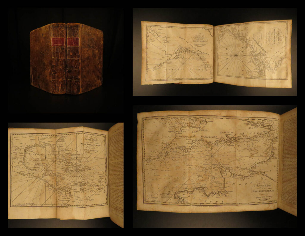
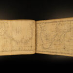
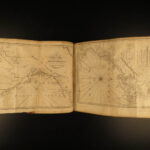
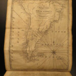
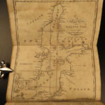
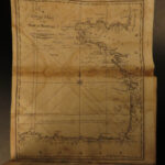
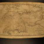
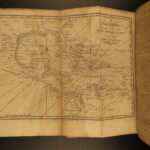
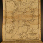
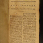
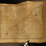
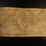
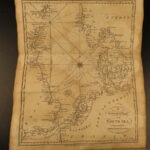
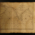
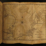
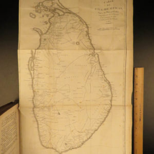
‘The Naval Gazetteer’ is a late 18th-century sailor’s guide, filled with descriptions of coastlines, countries, and islands from around the world and sailing directions to and from various locations. However, the real draw of this set is the exquisite folding maps! Maps include views of ports and coasts along India, Portugal, the Baltic Sea, North and South America, Africa, and Great Britain.
1797 1ed AMERICAN Naval Gazetteer Voyages Malham Sailing MAPS Atlas Africa Ports
‘The Naval Gazetteer’ is a late 18th-century sailor’s guide, filled with descriptions of coastlines, countries, and islands from around the world and sailing directions to and from various locations. However, the real draw of this set is the exquisite folding maps! Maps include views of ports and coasts along India, Portugal, the Baltic Sea, North and South America, Africa, and Great Britain.
Item number: #14295
Price: $1950
MALHAM, John
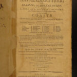
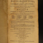
The naval gazetteer, or, Seaman’s complete guide : containing a full and accurate account, alphabetically arranged, of the several coasts of all the countries and islands in the known world …
Boston : Printed for and sold by W. Spottswood and J. Nancrede, 1797. First edition.
Details:
- Collation: Complete; 2 volumes
- 1 – xlvi, 436 (i.e. 536)
- 10 folding maps
- Wanting frontis folding map
- 2 – 573, [3]
- 6 folding maps
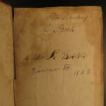
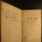
- Provenance: Handwritten
- L. Parrish
- A. Parrish
- Peter Le Breton
- Language: English
- Binding: Leather; tight & secure
- Size: ~8.5in X 5.5in (cm x cm)
- Very rare and desirable with auction records and price comparisons at $4,000
- 1 – xlvi, 436 (i.e. 536)
Our Guarantee:
Very Fast. Very Safe. Free Shipping Worldwide.
Customer satisfaction is our priority! Notify us with 7 days of receiving, and we will offer a full refund without reservation!
14295
Category
Voyages & Exploration & Maps
Authors
MALHAM, John
Printing Date
18th Century
Language
English
Binding
Leather
Book Condition
Excellent

