1813 Picture of Isle of Wight England Geography MAP Illustrated Landscapes Cooke
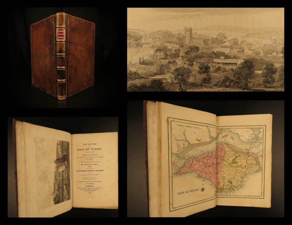
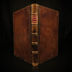
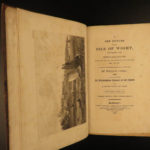
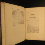
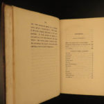
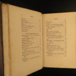
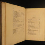
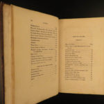
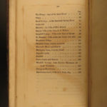
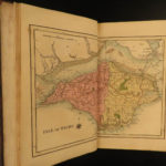
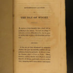
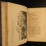
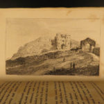
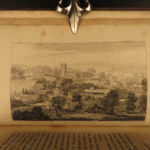
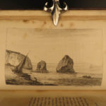
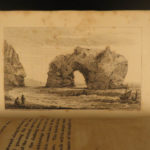
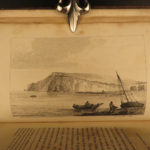
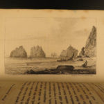
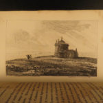
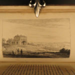
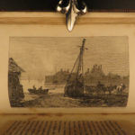
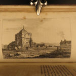
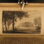
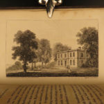
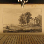
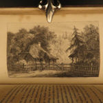
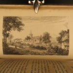
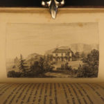
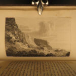
A beautifully illustrated early 19th-century history of the Isle of Wight. This work includes 36 impressive, full-page engravings from William Bernard Cooke – views of the island, natural landscapes, architecture and castles, as well as a double-page map of the island itself. The illustrations are interspersed throughout detailed descriptions and history of the island.
Item number: #12193
Price: $499
COOKE, William Bernard
A new picture of the Isle of Wight : illustrated with thirty-six plates of the most beautiful and interesting views throughout the island, in imitation of the original sketches, drawn and engraved
Southampton : Printed by and for T. Baker, and for Sherwood, Neely and Jones, 1813.
Details:
- Collation: Complete with all pages
- xiv, 158, [4]
- 37 engraved plates
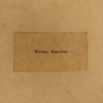
- Provenance: Bookplate – George Coventry
- George William Coventry, 8th Earl of Coventry (1784 – 1843), styled Viscount Deerhurst from 1809 to 1831, was a British peer and Tory Member of Parliament.
- Language: English
- Binding: Leather; tight & secure
- Size: ~9in X 6in (23cm x 15cm)
Our Guarantee:
Very Fast. Very Safe. Free Shipping Worldwide.
Customer satisfaction is our priority! Notify us with 7 days of receiving, and we will offer a full refund without reservation!
12193
Categories
European History
Voyages & Exploration & Maps
Authors
COOKE, William Bernard
Printing Date
19th Century
Language
English
Binding
Leather
Book Condition
Excellent
Collation
Complete

