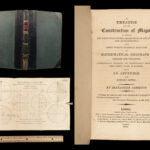
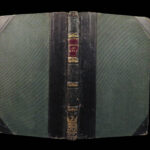
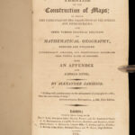
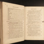
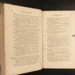
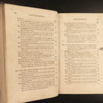
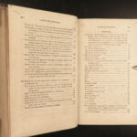
1814 Cartography 1ed Construction MAPS Scottish Jamieson Geography Illustrated
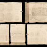
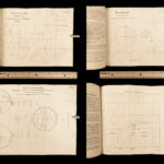
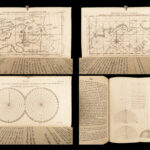
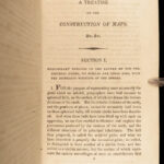
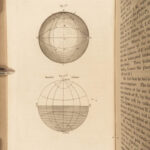
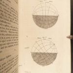
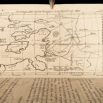
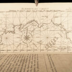
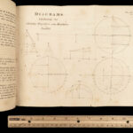
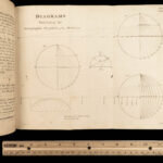
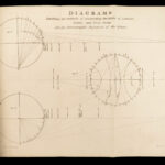
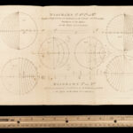
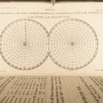
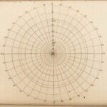
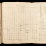
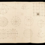
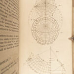
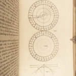
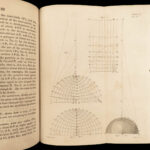
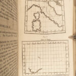
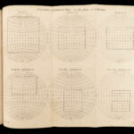
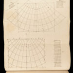
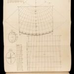
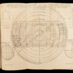
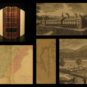
Alexander Jamieson was an early 19th-century Scottish textbook writer known for his works of grammar, mechanics, and geography. It was, however, his geography and atlas books that brought him his most prestige. In fact, his 1814 treatise “Construction of Maps” proved to be an important reference for cartographers and historians, filled with impressive folding engravings and maps. Jamieson describes techniques for drawing longitude and latitude lines, correctly illustrating rivers, and much more!
Item number: #23089
Price: $499
JAMIESON, Alexander
A treatise on the construction of maps in which the principles of the projections of the sphere are demonstrated,
London: printed by Darton, Harvey, and Co., for C. Law., 1814. 1st edition
Details:
- Collation: Complete with all pages
- xv, [1], 187, [1]
- 20 engravings (11 folding)
- Language: English
- Binding: Leather; tight and secure
- Size: ~8.25in X 5.25in (21cm x 13cm)
Our Guarantee:
Very Fast. Very Safe. Free Shipping Worldwide.
Customer satisfaction is our priority! Notify us with 7 days of receiving, and we will offer a full refund without reservation!
23089
Categories
Medicine & Science
Voyages & Exploration & Maps
Authors
JAMIESON, Alexander
Printing Date
19th Century
Language
English
Binding
Leather
Book Condition
Excellent
Collation
Complete


