1828 Japanese Illustrated MAP Edo Five Routes Dochu Samurai Woodblock Japan
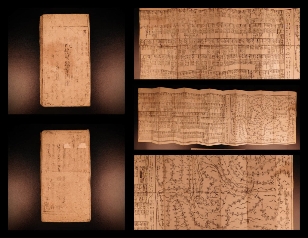
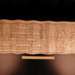
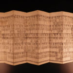
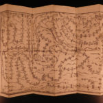
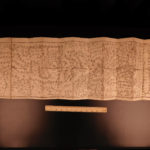
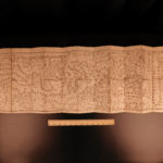
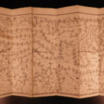
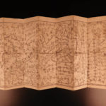
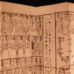
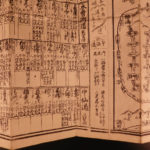
An interesting 19th century woodblock-print of a map of the Dochu, published in the late modern period when travel to shrines and temples were flourishing for ordinary people. the revised version or the same route by Ichizaemon Kichimonjiya of Yoshimojiya Saemon and Suharaya Shigebe and others “Dochu German Guide Map” or “National Route Guide Map.” It is a maze-type road map of the most popular type that is easy to fold and carry. This ‘Dochu map’ (Guide map) published during the Edo period is printed on both sides with a wooden print on both sides depicting the Edo Five Routes where feudal lords with their samurai had to travel every other year to the capital following these routes. It is quite large measuring at ~101cm x 30cm.
This 19th century edition map includes the names of post towns on the routes with the distance between the towns and the fare for baggage based upon whether it was carried by horse or man!
Item number: #9355
Price: $499
ICHIZAEMON, Kichimonjiya
National Route Guide Map (Douchuu Hitori Annaizu)
道中獨案内圖.(どうちゅうひとりあんないず)
Ōsaka : Takehara Kōbē… [et al.], [1828]
Details:
- References: Kazutaka Unno, “Machizu to Dochu” (Directed by Taku Nakamura, “New Edition of Japanese Old Map Taisei” Kodansha, 1974) 41-44; Kazumasa Yamashita “Edo period read on a map” Tsuji Shobo (1998); Kazuhiko Yamori “Old map and landscape” Chikuma Shobo (1984); Geospatial Information Authority of Japan;
- Language: Japanese
- Size: ~39.75in X 11.75in (101cm x 30cm)
Our Guarantee:
Very Fast. Very Safe. Free Shipping Worldwide.
Customer satisfaction is our priority! Notify us with 7 days of receiving, and we will offer a full refund without reservation!
9355
Category
Voyages & Exploration & Maps
Authors
ICHIZAEMON, Kichimonjiya
Printing Date
19th Century
Language
Other
Binding
Softcover
Book Condition
Excellent

