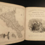
1832 Devonshire & Cornwall 1ed England Illustrated Geography John Britton MAPS
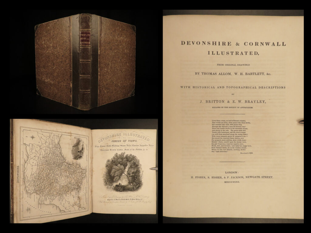
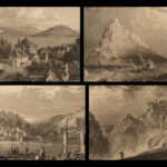
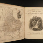
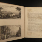
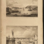
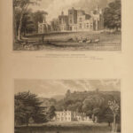
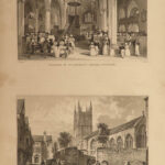
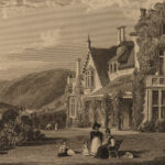
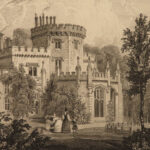
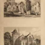
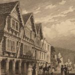
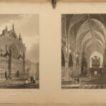
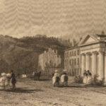
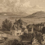
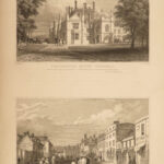
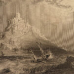
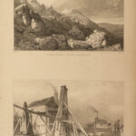
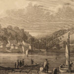
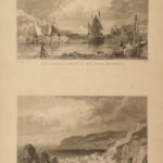
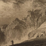
John Britton’s “Devonshire & Cornwall Illustrated” is one of his many illustrated accounts of cities and environs of England. This book contains exquisite full-page steel engravings of scenes, landscapes, and scenery from both Devonshire and Cornwall. This book contains nearly 70 engravings throughout including maps!
1832 1ed Devonshire & Cornwall England Illustrated Geography John Britton MAPS
John Britton’s “Devonshire & Cornwall Illustrated” is one of his many illustrated accounts of cities and environs of England. This book contains exquisite full-page steel engravings of scenes, landscapes, and scenery from both Devonshire and Cornwall. This book contains nearly 70 engravings throughout including maps!
Item number: #18545
Price: $599
BRITTON, John
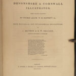
Devonshire & Cornwall illustrated, from original drawings by Thomas Allom, W.H. Bartlett, &c., with historical and topographical descriptions by J. Britton & E.W. Brayley
London : H. Fisher, R. Fisher, & P. Jackson, 1832.
Details:
- Collation: Complete with all pages; 2 parts in 1
- ‘Devonshire’ – 106
- 48 plates, plus engraved title page
- ‘Cornwall’ – 48
- 23 plates, plus engraved title page
- Language: English
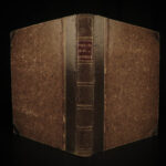
- Binding: Leather; tight and secure
- Size: ~10.75in X 8.5in (27.5cm x 21.5cm)
- ‘Devonshire’ – 106
Our Guarantee:
Very Fast. Very Safe. Free Shipping Worldwide.
Customer satisfaction is our priority! Notify us with 7 days of receiving, and we will offer a full refund without reservation!
18545
Category
European History
Authors
BRITTON, John
Printing Date
19th Century
Language
English
Binding
Leather
Book Condition
Excellent
Collation
Complete

