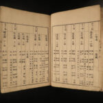
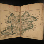
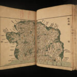
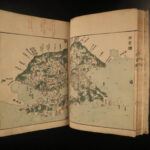
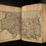
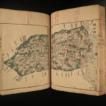
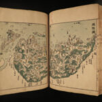
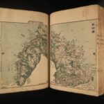
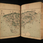
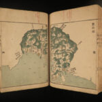
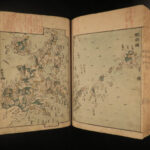
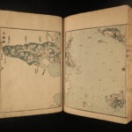
1837 Japanese ATLAS MAPS Hand Painted COLOR Illustrated Japan Kunigori Zenzu
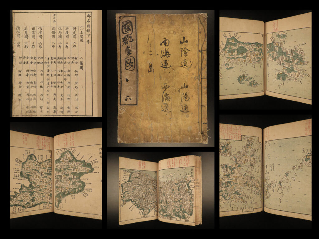
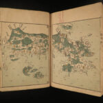
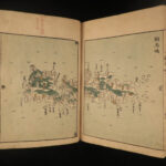
An interesting 19th century Edo woodblock-print of ‘Country Maps of Counties.’ This is a rare collection of hand-colored illustrated maps is an Atlas from different counties in Japan from Kinai to Tokaido and Tosan-do. This rare 1837 first edition has 34 double pages of illustrations throughout!
Item number: #15945
Price: $950
市川 東谿
ICHIKAWA, Toukei
Country Map of Counties (Kunigōri zenzu) 国郡全図(くにごうりぜんしゅ)
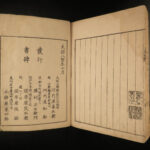
(Honshirogane) Edo: Nagakaya Toshiro, Tenpo 8 [1837]. First Edition.
Details:
- Collation: Complete with all pages
- Illustrated throughout
- Language: Japanese
- Binding: Softcover; tight & secure
- Size: ~11in X 7.75in (28cm x 19.5cm)
- Very rare and desirable with auctions records and price comparisons at $2500
Our Guarantee:
Very Fast. Very Safe. Free Shipping Worldwide.
Customer satisfaction is our priority! Notify us with 7 days of receiving, and we will offer a full refund without reservation!
15945
Categories
Asia, Africa, & Middle Eastern
Voyages & Exploration & Maps
Authors
ICHIKAWA, Toukei
Printing Date
19th Century
Language
Other
Binding
Softcover
Book Condition
Excellent
Collation
Complete

