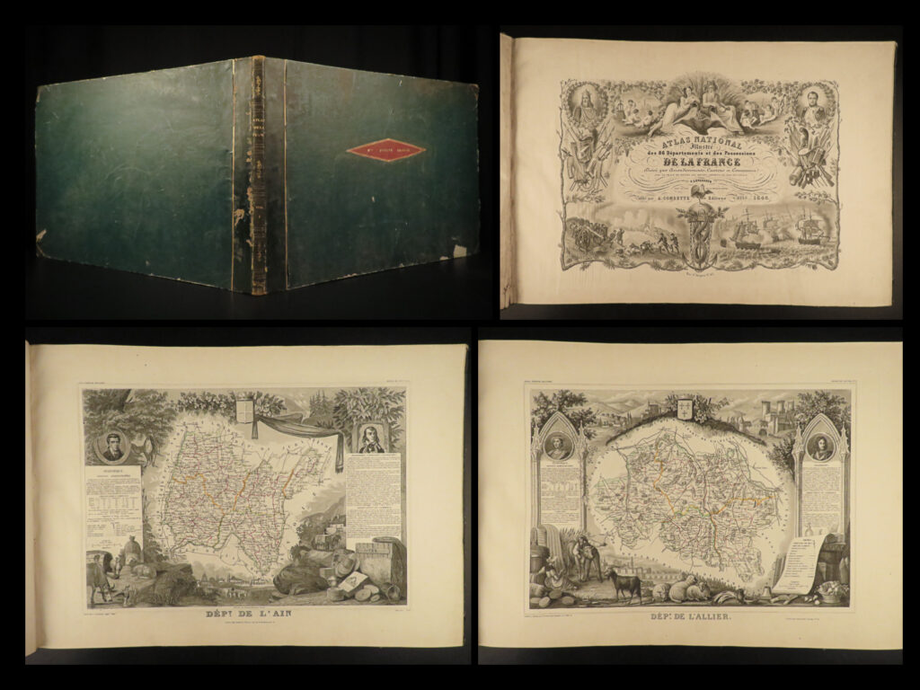
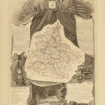
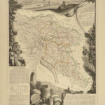
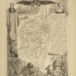
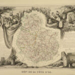
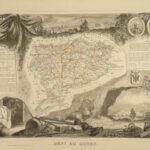
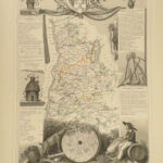
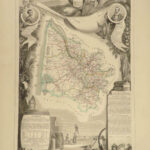
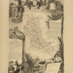
1846 1ed HUGE French ATLAS 43 MAPS Illustrated Victor Lefasseur ENORMOUS France
An absolutely enormous French atlas by Victor Levasseur!
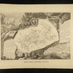
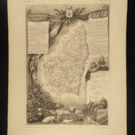
This huge, oblong atlas contains 43 fully-illustrated maps of various regions, cities, and counties from around France each decorated with exquisite decorated borders.
Item number: #20847
Price: $795
LEVASSEUR, Victor
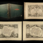
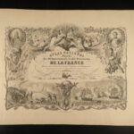
Atlas national illustré des 86 départements et des possessions de la France divisé par arrondissements, cantons et communes
Paris: publié par A. Combette Editeur, 1846.
Details:
- Collation: Complete with all pages;
- 43 plates of maps, plus engraved title page
- Provenance: Binding stamp – Mlle. Pauline Charuel
- Language: French
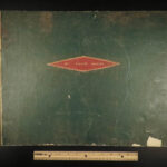
- Binding: Leather; tight and secure
- Size: ~15.25in X 22in (39cm x 56cm)
Our Guarantee:
Very Fast. Very Safe. Free Shipping Worldwide.
Customer satisfaction is our priority! Notify us with 7 days of receiving, and we will offer a full refund without reservation!
20847
Category
Voyages & Exploration & Maps
Authors
LEVASSEUR, Victor
Printing Date
19th Century
Language
French
Binding
Leather
Book Condition
Excellent
Collation
Complete

