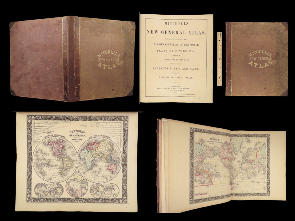
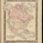
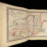
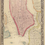
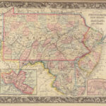
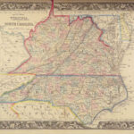
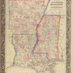
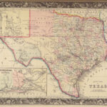
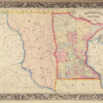
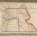
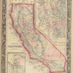
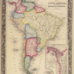
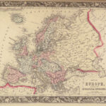
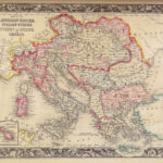
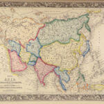
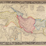
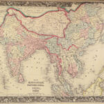
1860 FAMED 1ed Mitchell ATLAS Maps America City Plan Asia Texas Caribbean Africa
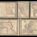
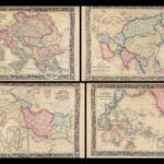
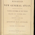
The name Mitchell has long been synonymous with 19th-century maps; in fact, Mitchell maps are often considered the best of atlas maps from the 1800s. In 1860, S Augustus Mitchell Jr took over for his father who had recently retired and published the first edition of the ‘new atlas’. Mitchell gained his notoriety with his Universal Atlas decades earlier, but the enormous folio version of Mitchell Jr. has been extremely popular ever sense!
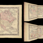
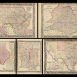
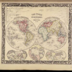
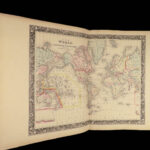
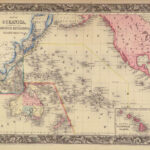
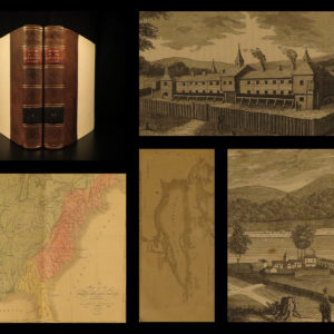
This huge atlas contains dozens of hand-colored maps from all over the world! Note that the maps themselves from this atlas have been known to sell for more than $300-$500 each!
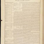
While the maps are certainly the draw of this work, this 1860 first edition includes 26 pages of text at the end describing various topographical and geographical aspects of North America including post offices, populations, censuses, governments, route distances, ports, rivers, mountains, and more.
Item number: #23427
Price: $1950
MITCHELL, S Augustus
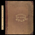
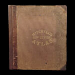
Mitchell’s new general atlas : containing maps of the various countries of the world.
Philadelphia : S. Augustus Mitchell, Jr., 1860. First edition of the updated atlas
Details:
- Collation: Complete
- [4], 26
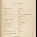
- 76 (i.e., 78) maps
- 2 maps labelled #25, one unnumbered map
- References: Sabin 39261
- Language: English
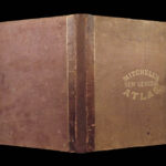
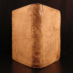
- Binding: Leather; tight and secure
- Size: ~15.75in X 13.25in (40.5cm x 34cm)
- Exceedingly rare (in this complete form) and ALWAYS very desirable
Our Guarantee:
Very Fast. Very Safe. Free Shipping Worldwide.
Customer satisfaction is our priority! Notify us with 7 days of receiving, and we will offer a full refund without reservation!
23427
Categories
Medicine & Science
Voyages & Exploration & Maps
Authors
MITCHELL, S Augustus
Printing Date
19th Century
Language
English
Binding
Leather
Book Condition
Excellent
Collation
Complete

