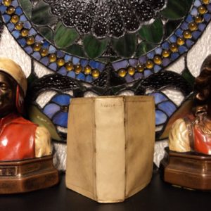
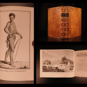
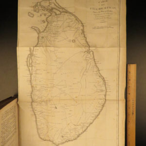
1860 Mitchell School ATLAS 31 MAPS America TEXAS Wild West Confederate South
The name Mitchell has long been synonymous with 19th-century maps; in fact, Mitchell maps are often considered the best of atlas maps from the 1800s. S Augustus Mitchell published an important geography book designed for schools and with it an impressive atlas. This 1860 atlas contains 31 maps.
Item number: #26548
Price: $750
MITCHELL, S Augustus
Mitchell’s School Atlas: comprising the maps, etc., designed to accompany…
Philadelphia: published by E.H. Butler & Co., 1860.
Details:
- Collation: Complete
- 31 hand-colored maps
- 32 numbered; #6 does not exist, as per table of contents on title page
- References: Flake 8087
- Provenance: Bookplate – Maurice Robert Des Marais
- Language: English
- Binding: Leather; tight and secure
- Size: ~12.25in X 10in (31cm x 25.5cm)
- 31 hand-colored maps
Our Guarantee:
Very Fast. Very Safe. Free Shipping Worldwide.
Customer satisfaction is our priority! Notify us with 7 days of receiving, and we will offer a full refund without reservation!
26548
Categories
Medicine & Science
Voyages & Exploration & Maps
Authors
MITCHELL, S Augustus
Printing Date
19th Century
Language
English
Binding
Leather
Book Condition
Excellent
Collation
Complete


