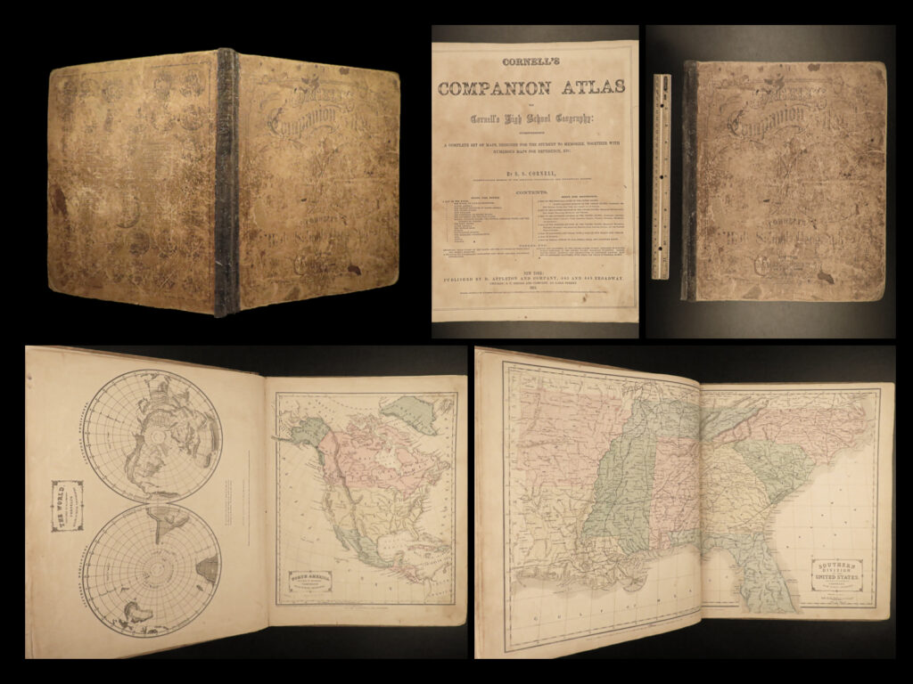
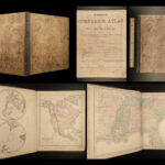
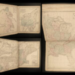
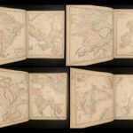
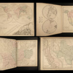
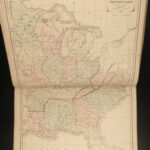
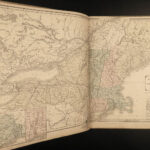
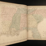
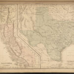
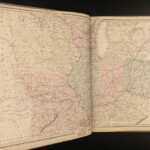
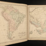
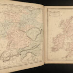
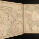
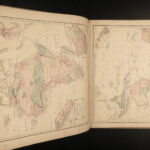
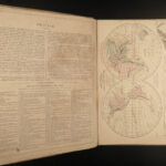
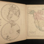
1861 Cornell Civil War era ATLAS 33 MAPS America California Texas Europe Africa
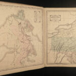
A rare 19th-century, Civil War era American atlas. Collected by Sarah Cornell, this atlas contains dozens of detailed, color maps from both the United States and around the world. It was intended for high school geography but still holds merit today – a especially the map of California and Texas. Maps such as these are often extracted from the original atlas to be displayed; it is rare to find all of the expected maps intact and in good shape. A fine work.
Item number: #21756
Price: $550
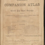
CORNELL, Sarah S
Companion atlas to Cornell’s High School geography : comprising a complete set of maps, designed for the student to memorize
New York: D Appleton and Co., 1861.
Details:
- Collation: Complete with all pages
- [2], 8
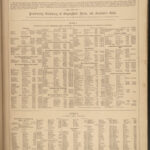
- 16 leaves of maps / descriptions (33 double-page, full-page, and inset maps)
- Provenance: Handwritten
- L. Kingsley
- Helen E. Burnham
- Sarah G. Campbell
- Helen M. Wood
- Language: English
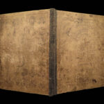
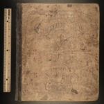
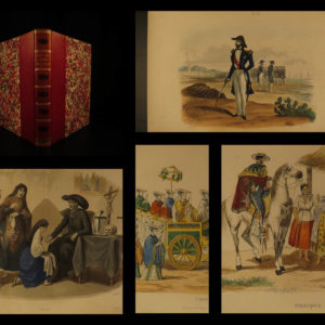
- Binding: Hardcover; tight and secure
- Size: ~14in X 12in (35.5cm x 30cm)
Our Guarantee:
Very Fast. Very Safe. Free Shipping Worldwide.
Customer satisfaction is our priority! Notify us with 7 days of receiving, and we will offer a full refund without reservation!
21756
Category
Voyages & Exploration & Maps
Authors
CORNELL, Sarah S
Printing Date
19th Century
Language
English
Binding
Hardcover
Book Condition
Excellent
Collation
Complete

