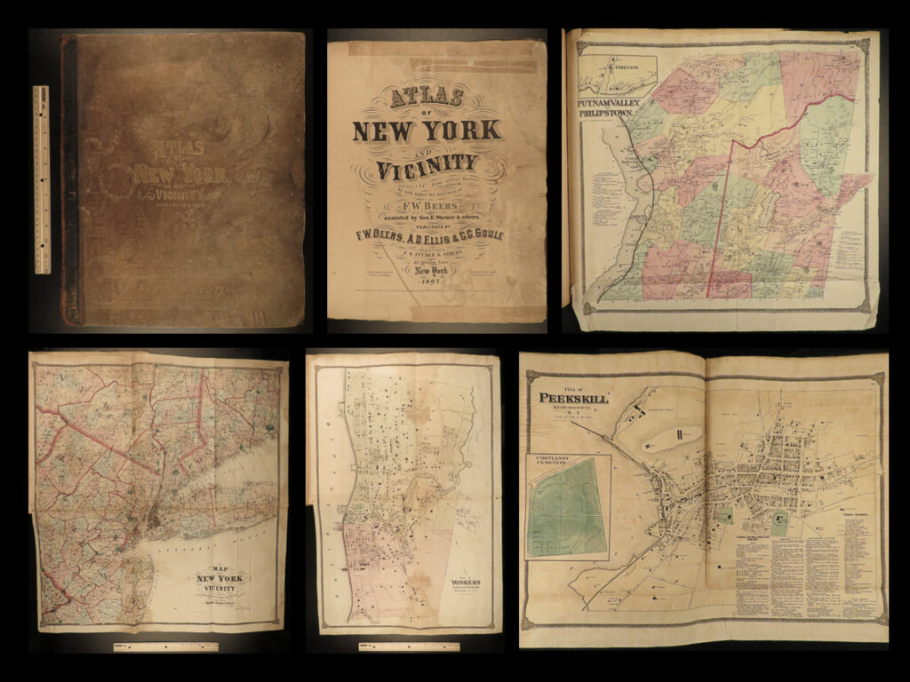
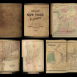
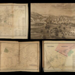
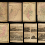
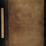
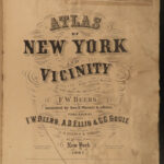
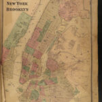
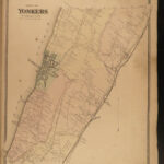
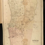
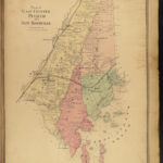
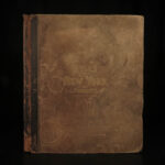
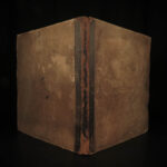
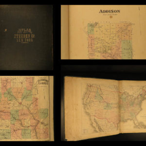
1867 HUGE ATLAS New York City Brooklyn Yonkers Color City MAPS FW Beers
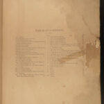
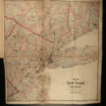
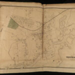
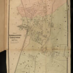
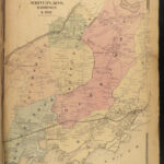
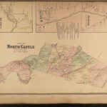
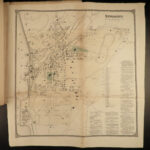
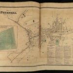
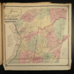
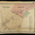
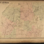
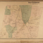
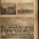
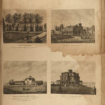
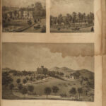
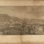
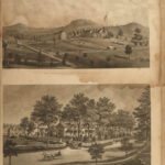
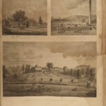
A rare 19th-century atlas of New York! Collected by F.W. Beers, this enormous atlas contains numerous maps contains views of New York City, cities and towns, Burroughs, and neighborhoods, as well as illustrations of iconic locations and buildings. Notable maps included in this atlas include:
- Peekskill
- Beekmantown, Tarrytown, Irving
- Putnam Valley and Philipstown
- Cortland
- Singsing
- Yonkers
- New York City
- Brooklyn
Item number: #18366
Price: $950
BEERS, F.W.
Atlas of New York and vicinity : from actual surveys
New York : F.W. Beers, A.D. Ellis, and G.G. Soule, 1867.
Details:
- Collation: Complete with all pages
- 35 maps
- Provenance: Handwritten – John Bailey
- Language: English
- Binding: Leather; secure
- Size: ~17.75in X 14.75in (45cm x 37.5cm)
Our Guarantee:
Very Fast. Very Safe. Free Shipping Worldwide.
Customer satisfaction is our priority! Notify us with 7 days of receiving, and we will offer a full refund without reservation!
18366
Categories
Americana, American History
Voyages & Exploration & Maps
Authors
BEERS, F.W.
Printing Date
19th Century
Language
English
Binding
Leather
Book Condition
Excellent
Collation
Complete

