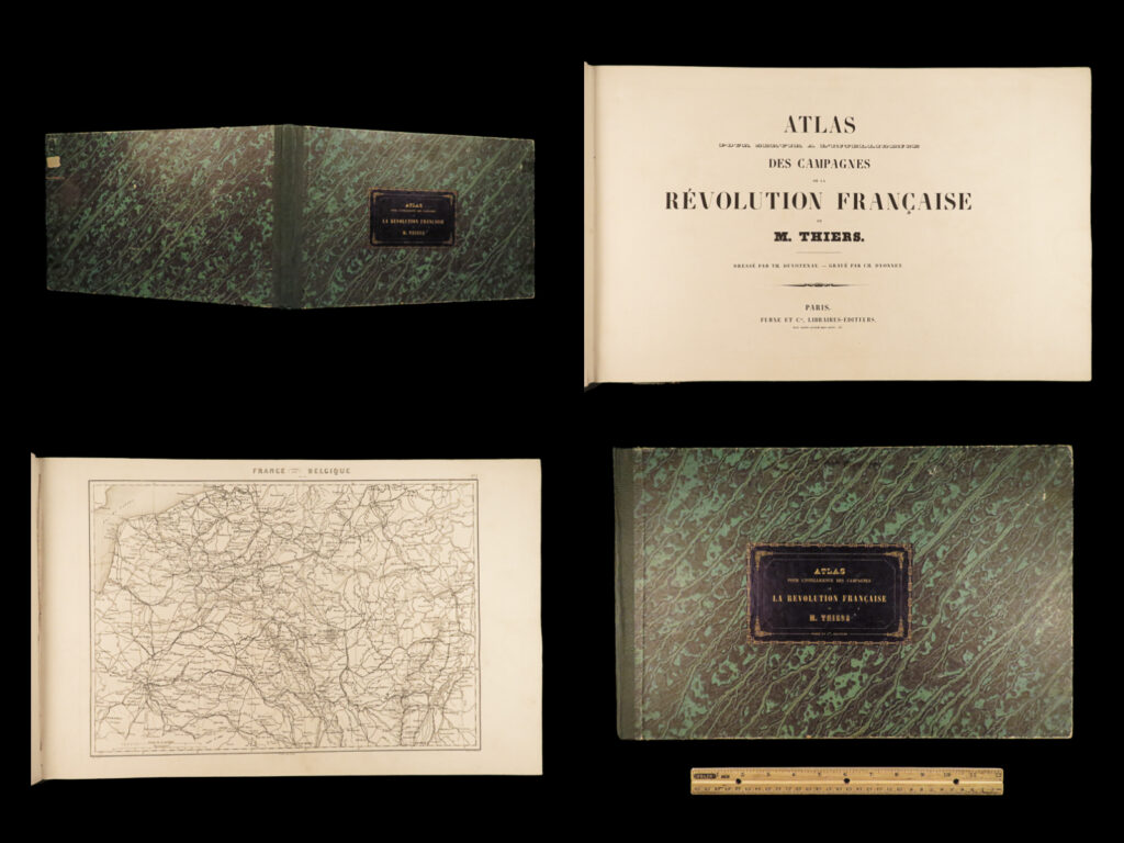
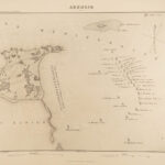
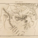
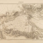
1870 Thiers ATLAS to French Revolution France Battle Plans 32 Double-Page MAPS
“They pried into the most secret recesses, ransacked every depository of papers, broke open every lock, and enjoyed the twofold gratification of curiosity and destruction.”
― Adolphe Thiers, The History of the French Revolution
Born during the French Revolution, Adolphe Thiers became a famous French historian, focusing on the history of France and the importance of the French Revolution. He began writing his “History of the French Revolution” in the early 1820s, and this book would be the foundation for his literary fame and reputation, also providing a boost to his political career.
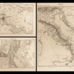
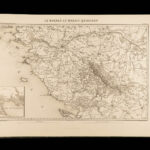
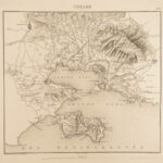
This volume is the Atlas tome which accompanies Thiers’ “History of the French Revolution.” It includes 32 incredible double-page maps depicting various aspects of the French Revolution. See below for a full-list of maps.
Item number: #23125
Price: $599
THIERS, Adolphe
Atlas… des campagnes de la Révolution française
Paris: Furne et Cie, [1870].
Details:
- Collation: Complete with all pages
- Illustrated with 32 double-page maps (French titles)
- France, Nord et Est. – Belgique
- Bataille de Valmy
- Bataille de Jemmapes
- Bretagne et Vendee
- Le Bocage et le Marais
- Le Rhin
- Plan de Mayence
- Pyrenees orientales et occidentales
- Plan de Lyon
- Bataille d’Hondschoote
- Bataille de Wattignies
- Plan de Toulon
- Bataille de Nerwinde
- Carte de la Hollande
- Bataille de Felurus
- Carte du Piemont et de la Lomardie
- Bataille de Montenotte et Millesimo
- Plan do Mantoue
- Plan de Strasbourg
- Carte de l’Italie
- Bataille de Casitione
- Bataille d’Arcole
- Bataille de Rivoli
- Carte d’entre Po et Danube
- Plan de Venise
- Plan de l’ile de Malta
- Carte d’Egypte et de Syria
- Bataille des Pyramides
- Bataille d’Aboukir
- Bataille de Monthabor
- Carte de la Suisse
- Plan de Zurich
- Language: French
- Binding: Hardcover; tight and secure
- Size: ~11in X 17in (28cm x 43.5cm)
- Illustrated with 32 double-page maps (French titles)
Our Guarantee:
Very Fast. Very Safe. Free Shipping Worldwide.
Customer satisfaction is our priority! Notify us with 7 days of receiving, and we will offer a full refund without reservation!
23125
Categories
Military & War
European History
Authors
THIERS, Adolphe
Printing Date
19th Century
Language
French
Binding
Hardcover
Book Condition
Excellent
Collation
Complete

