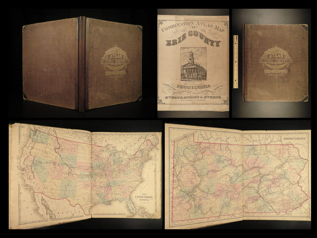
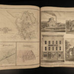
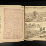
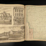
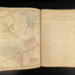
1876 1ed HUGE Atlas of Erie County Pennsylvania MAPS United States Illustrated
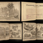
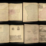
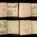
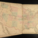
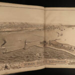
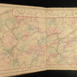
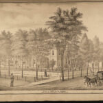
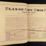
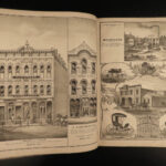
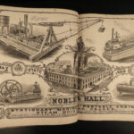
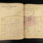
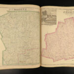
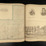
A huge 1876 atlas of Erie County, Pennsylvania. This enormous tome contains countless illustrated views of cities, notable locations, churches, villages, homes and portraits of prominent citizens, and most importantly – maps! The double page maps of the United States and the state of Pennsylvania are especially desirable – huge color maps!
It’s worth noting that because of the heavy German influence in Pennsylvania at the time, the map legend reference includes German words for each of the key terms.
Item number: #21141
Price: $950
various
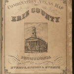
Combination atlas map of Erie County, Pennsylvania
Philadelphia: Everts, Ensign & Everts, 1876. First edition.
Details:
- Collation:
- 132
- Wanting p. 13-14
- 38 maps
- 57 leaves of illustrations
- 132
- Language: English
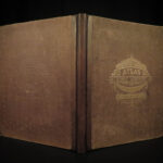
- Binding: Leather; tight and secure
- Size: ~16.75in X 14.25in (43cm x 36.5cm)
- Very rare and desirable
Our Guarantee:
Very Fast. Very Safe. Free Shipping Worldwide.
Customer satisfaction is our priority! Notify us with 7 days of receiving, and we will offer a full refund without reservation!
21141
Categories
Americana, American History
Voyages & Exploration & Maps
Authors
various
Printing Date
19th Century
Language
English
Binding
Leather
Book Condition
Excellent

