1878 CANADA Atlas 1ed Illustrated MAPS Northumberland Durham Ontario Toronto
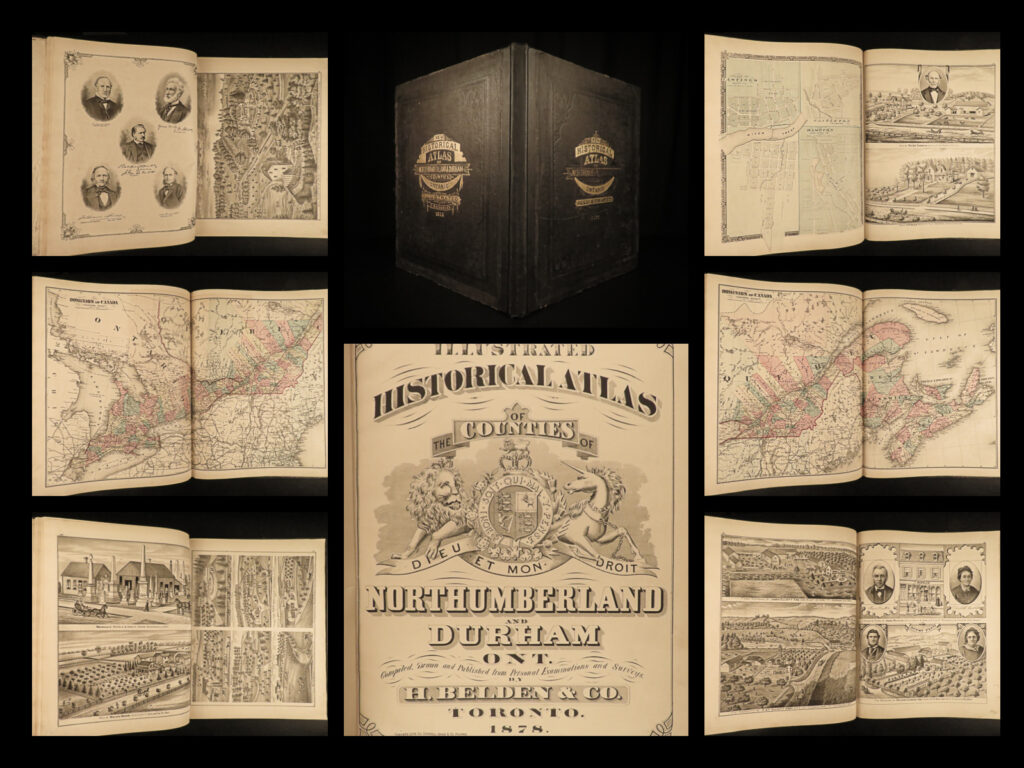
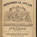
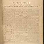
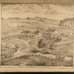
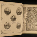
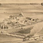
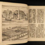
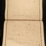
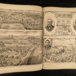
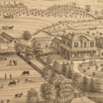
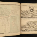
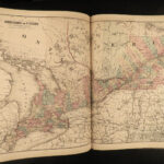
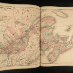
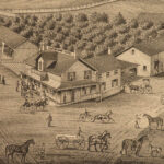
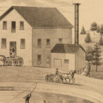
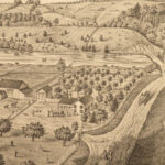
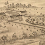
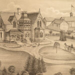
Belden’s famous ‘Illustrated Historical Atlas’ is a rare, late 19th-century Canadian atlas filled with maps, city views, and portraits. This particular atlas cover the country sides of Northumberland and Durham Counties in Ontario, Canada. This 1878 first edition was published in Toronto and contains all of the expected color maps and illustrations.
1878 1ed CANADA Atlas Illustrated MAPS Northumberland Durham Ontario Toronto
Belden’s famous ‘Illustrated Historical Atlas’ is a rare, late 19th-century Canadian atlas filled with maps, city views, and portraits. This particular atlas cover the country sides of Northumberland and Durham Counties in Ontario, Canada. This 1878 first edition was published in Toronto and contains all of the expected color maps and illustrations.
Item number: #17516
Price: $950
BELDEN and Co.
Illustrated historical atlas of the Counties of Northumberland and Durham, Ont.
Toronto : H. Belden & Co., 1878. First edition.
Details:
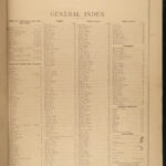
- Collation: Complete with all pages
- [4], x, 121
- Provenance: Handwritten – Sam G. M. Nesbitt
- Samuel Greerson Murray Nesbitt (1859–1938) was an apple exporter and political figure in Ontario. Nesbitt was president of the Canadian Canning Company and served eight years as reeve of Brighton. In 1915, Nesbitt donated land and funds towards the construction of the Brighton Public School.
- Language: English
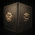
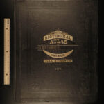
- Binding: Hardcover; tight and secure
- Black cloth
- Size: ~18in X 14.5in (45.5cm x 38cm)
Our Guarantee:
Very Fast. Very Safe. Free Shipping Worldwide.
Customer satisfaction is our priority! Notify us with 7 days of receiving, and we will offer a full refund without reservation!
17516
Category
Voyages & Exploration & Maps
Authors
BELDEN and Co.
Printing Date
19th Century
Language
English
Binding
Hardcover
Book Condition
Excellent
Collation
Complete

