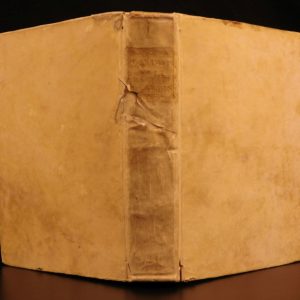
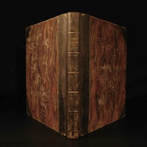
1880 BEAUTIFUL Israel 1ed Illustrated Bible HOLY LAND Palestine Jerusalem Maps
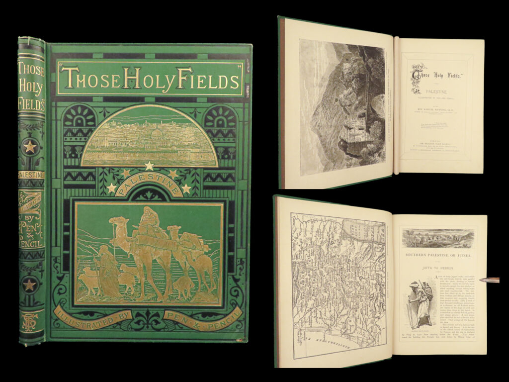
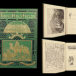
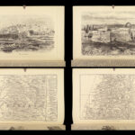
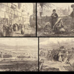
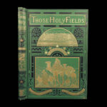
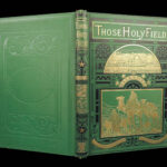
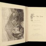
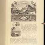
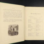
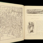
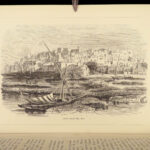
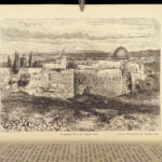
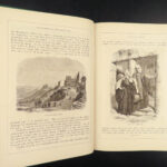
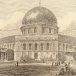
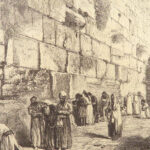
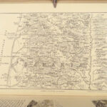
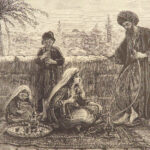
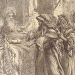
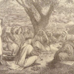
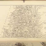
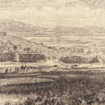
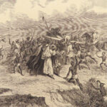
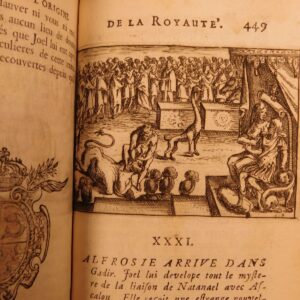
“Those Holy Fields” is a rare, 19th-century survey of the Holy Land by Samuel Manning. This profusely illustrated book covers all of the most important places from the Bible from Jaffa to Hebron, Bethlehem and the Dead Sea, Jericho, Jerusalem, Nazareth, Galilee, the Jordan River, Samaria, and so many other locations. The illustrations depict city views, architecture, mosques and churches, costume, natural landscapes, and so much more!
Item number: #25698
Price: $499
MANNING, Samuel
“Those Holy Fields.” Palestine, Illustrated by Pen and Pencil.
London: Religious Tract Society, [1880].
Details:
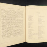
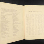
- Collation: Complete with all pages
- 223, [1]
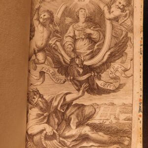
- 154 engravings
- Language: English
- Binding: Hardcover; tight and secure
- Decorative green cloth
- Size: ~11in X 8in (28.5cm x 20.5cm)
Our Guarantee:
Very Fast. Very Safe. Free Shipping Worldwide.
Customer satisfaction is our priority! Notify us with 7 days of receiving, and we will offer a full refund without reservation!
25698
Category
Religion
Authors
MANNING, Samuel
Printing Date
19th Century
Language
English
Binding
Hardcover
Book Condition
Excellent
Collation
Complete

